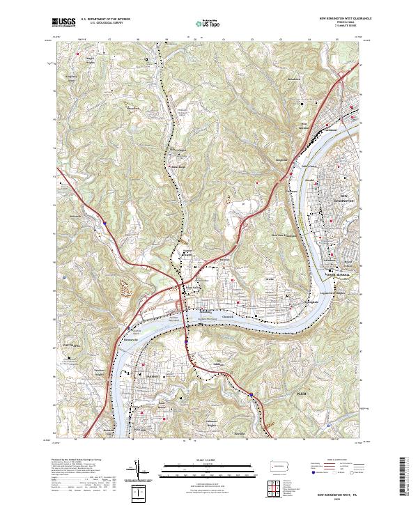
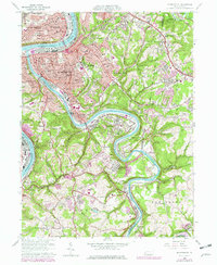
2023 Map of New Kensington West
USGS Topo · Published 2023About this map
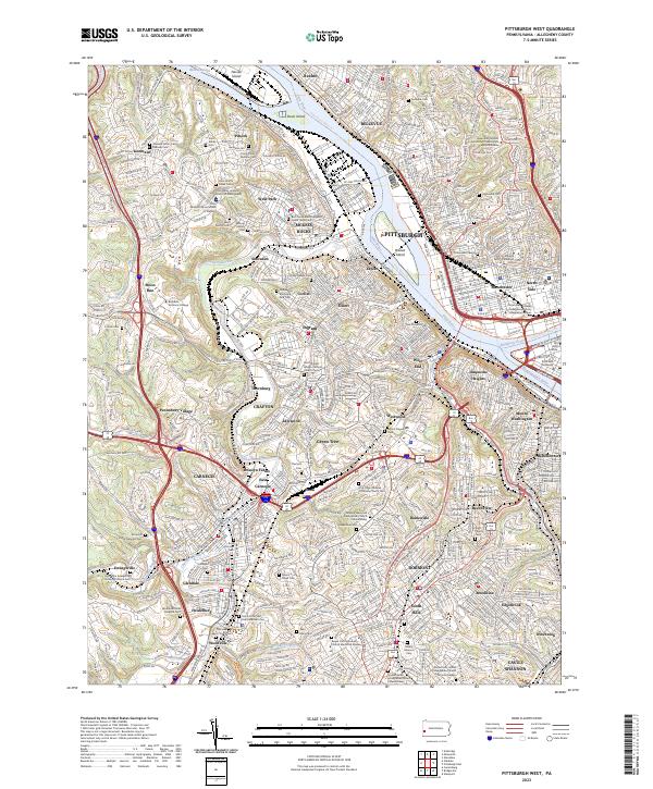
The Allegheny River carves a deep valley through this industrial and residential landscape, separating the communities of Oakmont and Verona from the steep hillsides of Lower Burrell and Arnold. This modern survey reveals a dense network of suburban growth intermixed with remnants of the region's river-driven economy. Navigational landmarks like Twelvemile Island and Merriman Bars punctuate the waterway, which is now utilized for recreation via the Three Rivers Water Trl.
Find a feature on this map
184 named features on this map. Tap any name to fly to it.
Don’t see what you’re looking for? This feature index may not catch every label — zoom into the map to look around manually.
Map Details
Editions of this 2023 New Kensington West Map
This is the sole edition of this map. No revisions or reprints were ever made.
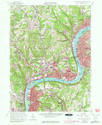
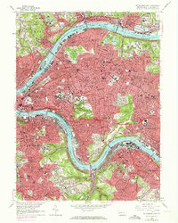
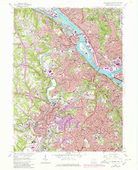
Historical Maps of Walter Chapel Through Time
22 maps found

1906 Sewickley
Allegheny County, PA
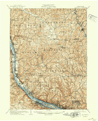
1908 Sewickley
Allegheny County, PA

1948 Pittsburgh West
Allegheny County, PA
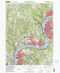
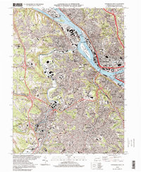
1951 Pittsburgh East
Allegheny County, PA
1951 Pittsburg West
Allegheny County, PA

1953 Mc Keesport
Allegheny County, PA

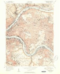
1953 New Kensington West
Allegheny County, PA

1956 Pittsburgh East
Allegheny County, PA

1956 Pittsburgh West
Allegheny County, PA
1960 Mc Keesport
Allegheny County, PA
1960 New Kensington West
Allegheny County, PA
1960 Pittsburgh East
Allegheny County, PA
1960 Pittsburgh West
Allegheny County, PA

1993 Mc Keesport
Allegheny County, PA
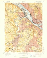
1993 New Kensington West
Allegheny County, PA

1993 Pittsburgh East
Allegheny County, PA

1993 Pittsburgh West
Allegheny County, PA
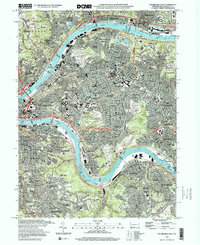
1997 Pittsburgh East
Allegheny County, PA
1997 Pittsburgh West
Allegheny County, PA
2023 New Kensington West
Allegheny County, PA
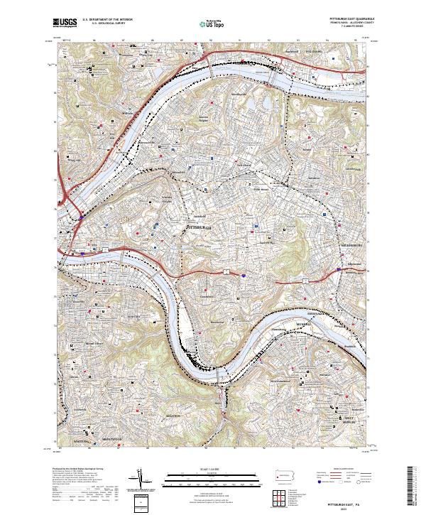
2023 Pittsburgh East
Allegheny County, PA
2023 Pittsburgh West
Allegheny County, PA