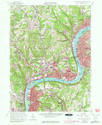
1960 Map of New Kensington West
USGS Topo · Published 1979About this map
The Allegheny River defines the industrial and residential corridors of this region, separating Allegheny Co from Westmoreland Co. Along its banks, the towns of Tarentum, New Kensington, Springdale, and Oakmont demonstrate the dense riverfront development characteristic of the mid-20th century, supported by the Conrail and Bessemer and Lake Erie railroads. Notable infrastructure like Lock and Dam No 3 and the Hulton Br manage the river's transit, while the legendary Oakmont Country Club and Allegheny County Regional Park provide significant green space amidst the expanding suburbs. Purple overprint highlights the growth of residential tracts like Magill Heights and Fairview Heights as they moved away from the industrial river edge toward the hills. Smaller communities like Harwick and Indianola maintain their identity, often centered around local institutions like St Anthonys Sch or Walter Chapel.
Find a feature on this map
96 named features on this map. Tap any name to fly to it.
Don’t see what you’re looking for? This feature index may not catch every label — zoom into the map to look around manually.
Map Details
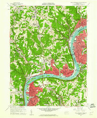
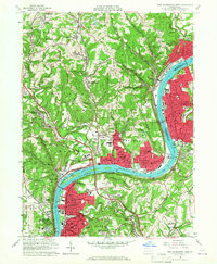
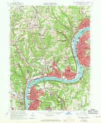
Editions of this 1960 New Kensington West Map
4 editions found
Other maps of this area

1904 · Mc Keesport
USGS Topo · 1:62,500

1904 · Greensburg
USGS Topo · 1:62,500

1906 · Greensburg
USGS Topo · 1:62,500

1907 · Pittsburg
USGS Topo · 1:62,500

1907 · Freeport
USGS Topo · 1:62,500

1908 · New Kensington
USGS Topo · 1:62,500

1909 · Freeport
USGS Topo · 1:62,500

1910 · New Kensington
USGS Topo · 1:62,500

1950 · Valencia
USGS Topo · 1:24,000

1951 · Pittsburg East
USGS Topo · 1:24,000