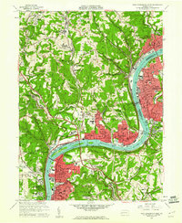
1960 Map of New Kensington West
USGS Topo · Published 1961About this map
The Allegheny River corridor serves as the industrial and logistical spine for this region during the 1960s, connecting a dense string of borough centers like New Kensington, Oakmont, and Arnold. This survey captures the landscape as it balances heavy infrastructure, such as Lock and Dam No 3 and the Pennsylvania Railroad, with the expansion of residential suburbs like Fairview Heights and Magill Heights. The presence of several golf courses, including Oakmont Golf Course, and the expansive Deer Lakes County Regional Park indicates a mid-century shift toward recreational land use in the hills overlooking the river. To the north and west, the terrain remains marked by the extraction economy, evidenced by a Strip Mine near Harmarville and large Tailings piles near Russellton. Numerous family and parish cemeteries, such as Lakewood Memorial Gardens and St Nicholas Cem, provide essential data points for local genealogists.
Find a feature on this map
106 named features on this map. Tap any name to fly to it.
Don’t see what you’re looking for? This feature index may not catch every label — zoom into the map to look around manually.
Map Details
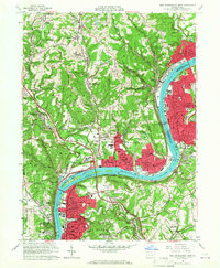
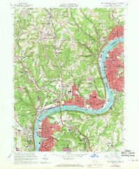
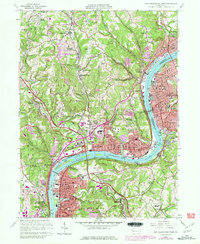
Editions of this 1960 New Kensington West Map
4 editions found
Other maps of this area

1904 · Mc Keesport
USGS Topo · 1:62,500

1904 · Greensburg
USGS Topo · 1:62,500

1906 · Greensburg
USGS Topo · 1:62,500

1907 · Pittsburg
USGS Topo · 1:62,500

1907 · Freeport
USGS Topo · 1:62,500

1908 · New Kensington
USGS Topo · 1:62,500

1909 · Freeport
USGS Topo · 1:62,500

1910 · New Kensington
USGS Topo · 1:62,500

1950 · Valencia
USGS Topo · 1:24,000

1951 · Pittsburg East
USGS Topo · 1:24,000