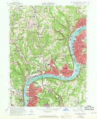
1960 Map of New Kensington West
USGS Topo · Published 1971About this map
The industrial corridor along the Allegheny River defines this region during a period of significant mid-century suburban expansion. The heavy infrastructure of the Penn Central and Bessemer and Lake Erie railroads supports the dense riverfront settlements of New Kensington, Oakmont, and Springdale. Purple-tinted revisions from 1969 highlight the northward spread of residential developments like Magill Heights and Allegheny Acres, contrasting with the more established grid of Arnold and Parnassus.
Find a feature on this map
92 named features on this map. Tap any name to fly to it.
Don’t see what you’re looking for? This feature index may not catch every label — zoom into the map to look around manually.
Map Details
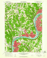
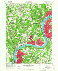
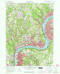
Editions of this 1960 New Kensington West Map
4 editions found
Other maps of this area

1904 · Mc Keesport
USGS Topo · 1:62,500

1904 · Greensburg
USGS Topo · 1:62,500

1906 · Greensburg
USGS Topo · 1:62,500

1907 · Pittsburg
USGS Topo · 1:62,500

1907 · Freeport
USGS Topo · 1:62,500

1908 · New Kensington
USGS Topo · 1:62,500

1909 · Freeport
USGS Topo · 1:62,500

1910 · New Kensington
USGS Topo · 1:62,500

1950 · Valencia
USGS Topo · 1:24,000

1951 · Pittsburg East
USGS Topo · 1:24,000