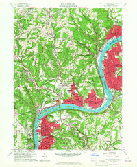
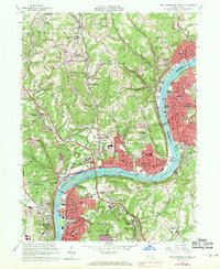
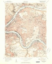
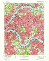
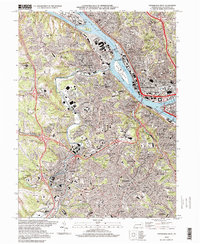
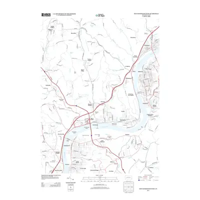
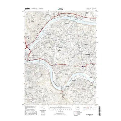
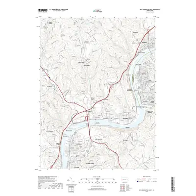
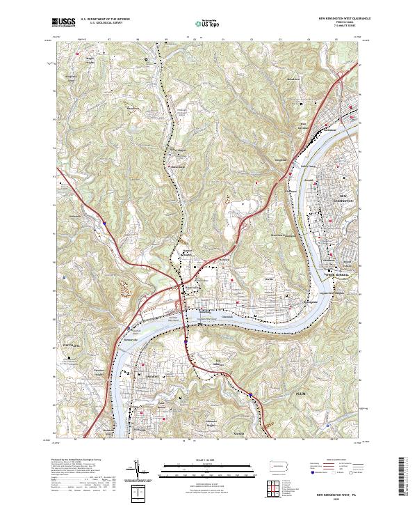
1960 Map of New Kensington West
USGS Topo · Published 1967About this map
The Allegheny River corridor dominates this industrial landscape, where the Pennsylvania RR and Bessemer and Lake Erie RR served a dense network of riverfront towns. By 1960, the region exhibited a mix of heavy industrial operations and established residential pockets, with communities like Acmetonia, Cheswick, and Springdale hugging the northern bank while Oakmont and Verona grew to the south. The presence of specialized sites such as a power plant, the Radio Towers (WKPA), and numerous strip mines illustrates the energy and communication infrastructure essential to mid-century Allegheny County.
Find a feature on this map
87 named features on this map. Tap any name to fly to it.
Don’t see what you’re looking for? This feature index may not catch every label — zoom into the map to look around manually.
Map Details
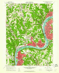
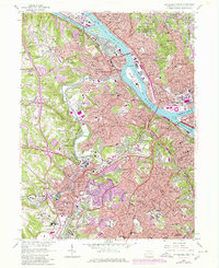
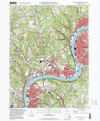
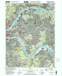
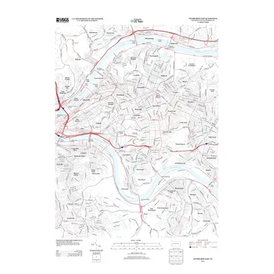
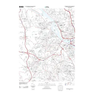
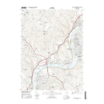
Editions of this 1960 New Kensington West Map
4 editions found
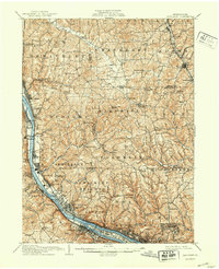
Historical Maps of Penn Hills Through Time
34 maps found

1906 Sewickley
Allegheny County, PA
1908 Sewickley
Allegheny County, PA

1948 Pittsburgh West
Allegheny County, PA
1951 Pittsburgh East
Allegheny County, PA
1951 Pittsburg West
Allegheny County, PA

1953 Mc Keesport
Allegheny County, PA

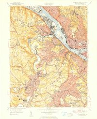
1953 New Kensington West
Allegheny County, PA

1956 Pittsburgh East
Allegheny County, PA

1956 Pittsburgh West
Allegheny County, PA
1960 Mc Keesport
Allegheny County, PA
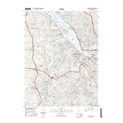
1960 New Kensington West
Allegheny County, PA
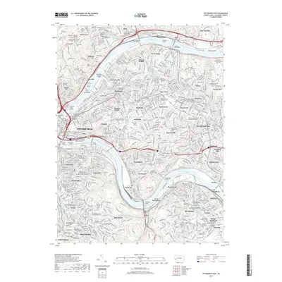
1960 Pittsburgh East
Allegheny County, PA
1960 Pittsburgh West
Allegheny County, PA

1993 Mc Keesport
Allegheny County, PA
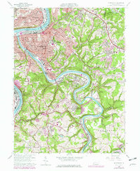
1993 New Kensington West
Allegheny County, PA

1993 Pittsburgh East
Allegheny County, PA

1993 Pittsburgh West
Allegheny County, PA
1997 Pittsburgh East
Allegheny County, PA
1997 Pittsburgh West
Allegheny County, PA
2010 New Kensington West
Allegheny County, PA
2010 Pittsburgh East
Allegheny County, PA
2010 Pittsburgh West
Allegheny County, PA
2013 New Kensington West
Allegheny County, PA
2013 Pittsburgh East
Allegheny County, PA
2013 Pittsburgh West
Allegheny County, PA
2016 New Kensington West
Allegheny County, PA
2016 Pittsburgh East
Allegheny County, PA
2016 Pittsburgh West
Allegheny County, PA
2019 New Kensington West
Allegheny County, PA
2019 Pittsburgh East
Allegheny County, PA
2019 Pittsburgh West
Allegheny County, PA
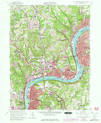
2023 New Kensington West
Allegheny County, PA
2023 Pittsburgh East
Allegheny County, PA
2023 Pittsburgh West
Allegheny County, PA