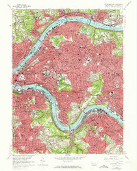
1960 Map of Pittsburgh East
USGS Topo · Published 1973About this map
The Allegheny River and Monongahela River dominate this urban landscape, where industrial infrastructure meets dense residential neighborhoods. Transportation networks define the area's development, with the Penn Central and Baltimore and Ohio railroads tracing the riverbanks and cutting through established districts like East Liberty, Bloomfield, and Lawrenceville. The map illustrates a city of hills and valleys, where institutional landmarks like the Cathedral of Learning and the Carnegie Institute of Technology stand adjacent to large green spaces like Schenley Park and Frick Park. Along the southern bend of the Monongahela, a large Slag Dump serves as a stark reminder of the heavy manufacturing that powered the regional economy. Extensive cemetery grounds, including Allegheny Cemetery and Homewood Cemetery, occupy significant acreage, preserving the footprint of 19th-century planning amidst mid-century urban expansion.
Find a feature on this map
133 named features on this map. Tap any name to fly to it.
Don’t see what you’re looking for? This feature index may not catch every label — zoom into the map to look around manually.
Map Details
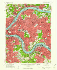
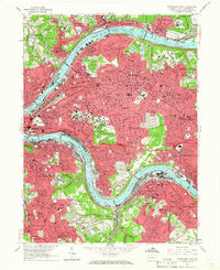
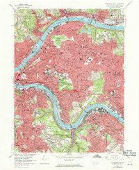
Editions of this 1960 Pittsburgh East Map
4 editions found
Other maps of this area

1904 · Mc Keesport
USGS Topo · 1:62,500

1904 · Carnegie
USGS Topo · 1:62,500

1906 · Carnegie
USGS Topo · 1:62,500

1906 · Sewickley
USGS Topo · 1:62,500

1907 · Pittsburg
USGS Topo · 1:62,500

1908 · Sewickley
USGS Topo · 1:62,500

1908 · Carnegie
USGS Topo · 1:62,500

1908 · New Kensington
USGS Topo · 1:62,500

1910 · New Kensington
USGS Topo · 1:62,500

1948 · Pittsburgh West
USGS Topo · 1:24,000