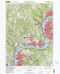
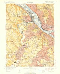
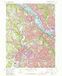
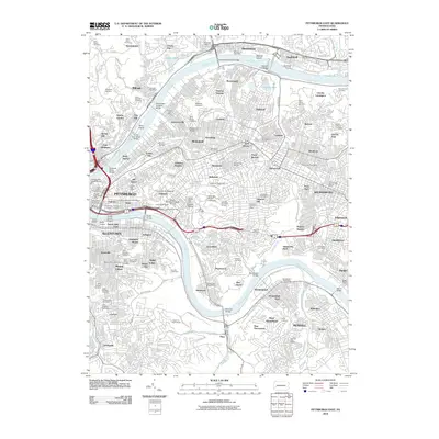
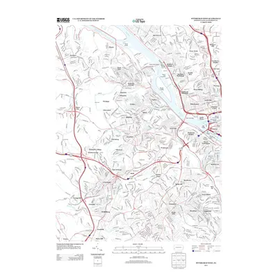
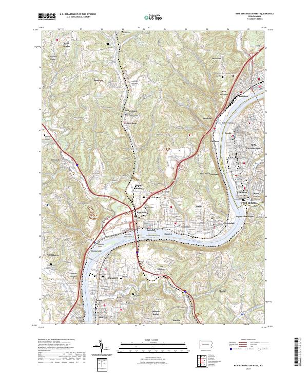
1993 Map of New Kensington West
USGS Topo · Published 1998About this map
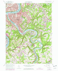
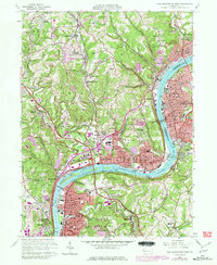
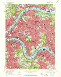
The Allegheny River defines the industrial and residential corridors of this western Pennsylvania landscape, where heavy infrastructure and sprawling suburban growth meet. From the river's bend at Twelvemile Island to the commercial hubs of New Kensington and Oakmont, the map details a dense network of neighborhoods such as Verona, Springdale, and Tarentum. Navigational features like Lock and Dam No 3 and the Hulton Bridge underscore the river's historic role as a primary artery for movement and commerce.
Find a feature on this map
83 named features on this map. Tap any name to fly to it.
Don’t see what you’re looking for? This feature index may not catch every label — zoom into the map to look around manually.
Map Details
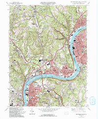
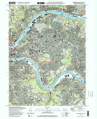
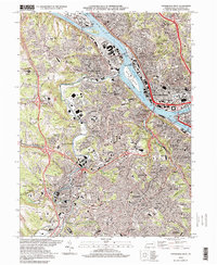
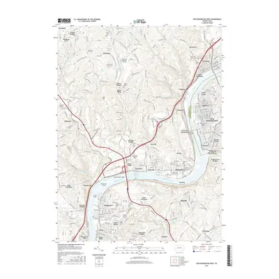
Editions of this 1993 New Kensington West Map
2 editions found
Historical Maps of Penn Hills Through Time
34 maps found

1906 Sewickley
Allegheny County, PA
1908 Sewickley
Allegheny County, PA

1948 Pittsburgh West
Allegheny County, PA
1951 Pittsburgh East
Allegheny County, PA
1951 Pittsburg West
Allegheny County, PA

1953 Mc Keesport
Allegheny County, PA

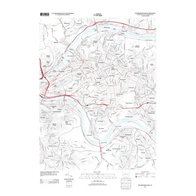
1953 New Kensington West
Allegheny County, PA

1956 Pittsburgh East
Allegheny County, PA

1956 Pittsburgh West
Allegheny County, PA
1960 Mc Keesport
Allegheny County, PA
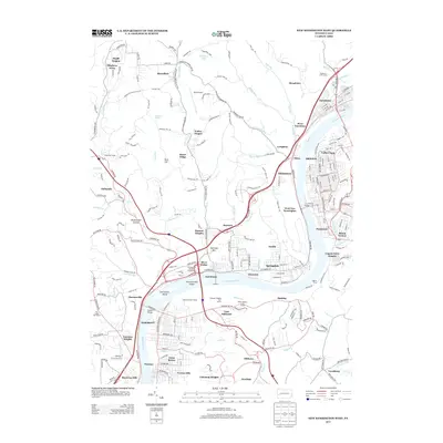
1960 New Kensington West
Allegheny County, PA
1960 Pittsburgh East
Allegheny County, PA
1960 Pittsburgh West
Allegheny County, PA

1993 Mc Keesport
Allegheny County, PA
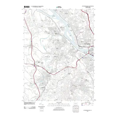
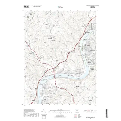
1993 New Kensington West
Allegheny County, PA

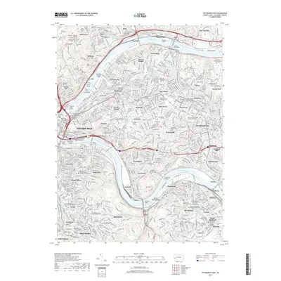
1993 Pittsburgh East
Allegheny County, PA

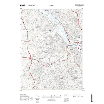
1993 Pittsburgh West
Allegheny County, PA
1997 Pittsburgh East
Allegheny County, PA
1997 Pittsburgh West
Allegheny County, PA
2010 New Kensington West
Allegheny County, PA
2010 Pittsburgh East
Allegheny County, PA
2010 Pittsburgh West
Allegheny County, PA
2013 New Kensington West
Allegheny County, PA
2013 Pittsburgh East
Allegheny County, PA
2013 Pittsburgh West
Allegheny County, PA
2016 New Kensington West
Allegheny County, PA
2016 Pittsburgh East
Allegheny County, PA
2016 Pittsburgh West
Allegheny County, PA
2019 New Kensington West
Allegheny County, PA
2019 Pittsburgh East
Allegheny County, PA
2019 Pittsburgh West
Allegheny County, PA
2023 New Kensington West
Allegheny County, PA
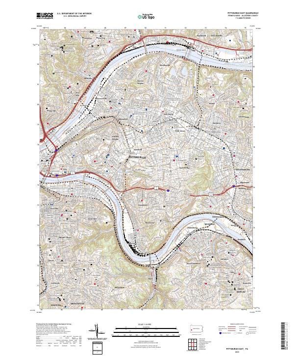
2023 Pittsburgh East
Allegheny County, PA
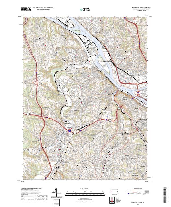
2023 Pittsburgh West
Allegheny County, PA