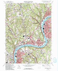
1993 Map of New Kensington West
USGS Topo · Published 1993About this map
The Allegheny River defines the industrial and residential heart of this region, winding past a sequence of steel-era settlements including Tarentum, New Kensington, and Springdale. In the early 1990s, the river remains the primary geographic anchor, featuring Lock and Dam No 3 and Twelvemile Island near the Hulton Br crossing. The landscape transitions from the dense riverfront grids of Arnold and Verona to the wooded hills of Deer Lakes Park and the smaller coal-town developments of Russelton and Rural Ridge.
Find a feature on this map
103 named features on this map. Tap any name to fly to it.
Don’t see what you’re looking for? This feature index may not catch every label — zoom into the map to look around manually.
Map Details
Editions of this 1993 New Kensington West Map
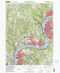
2 editions found
Other maps of this area

1904 · Mc Keesport
USGS Topo · 1:62,500

1904 · Greensburg
USGS Topo · 1:62,500

1906 · Greensburg
USGS Topo · 1:62,500

1907 · Pittsburg
USGS Topo · 1:62,500

1907 · Freeport
USGS Topo · 1:62,500

1908 · New Kensington
USGS Topo · 1:62,500

1909 · Freeport
USGS Topo · 1:62,500

1910 · New Kensington
USGS Topo · 1:62,500

1950 · Valencia
USGS Topo · 1:24,000

1951 · Pittsburg East
USGS Topo · 1:24,000