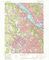
1960 Map of Pittsburgh West
USGS Topo · Published 1980About this map
The confluence of the Allegheny River and Monongahela River forms the Ohio River at the iconic Point State Park, where the historic Fort Pitt once stood. This map captures the industrial and institutional landscape of West Pittsburgh and its suburbs during a period of urban change. Massive landmarks like Three Rivers Stadium and the Western State Penitentiary dominate the riverbanks, while the intricate rail networks of the Baltimore and Ohio RR and Conrail stitch together the industrial corridors of Mc Kees Rocks and Carnegie.
Find a feature on this map
140 named features on this map. Tap any name to fly to it.
Don’t see what you’re looking for? This feature index may not catch every label — zoom into the map to look around manually.
Map Details
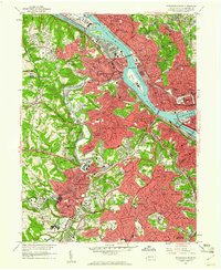
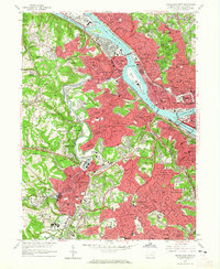
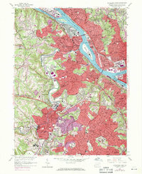
Editions of this 1960 Pittsburgh West Map
4 editions found
Other maps of this area

1904 · Mc Keesport
USGS Topo · 1:62,500

1904 · Carnegie
USGS Topo · 1:62,500

1906 · Carnegie
USGS Topo · 1:62,500

1906 · Sewickley
USGS Topo · 1:62,500

1907 · Pittsburg
USGS Topo · 1:62,500

1908 · Sewickley
USGS Topo · 1:62,500

1908 · Carnegie
USGS Topo · 1:62,500

1908 · New Kensington
USGS Topo · 1:62,500

1910 · New Kensington
USGS Topo · 1:62,500

1948 · Pittsburgh West
USGS Topo · 1:24,000