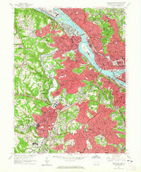
1960 Map of Pittsburgh West
USGS Topo · Published 1965About this map
The confluence of the Allegheny River and Monongahela River forms the Ohio River at the very edge of this 1960 revision, highlighting the industrial heart of western Pennsylvania. The urban landscape is dense with institutional history, featuring the Western State Penitentiary on the riverbank and the Allegheny Observatory overlooking Riverview Park. To the west, the winding path of Chartiers Creek serves as a geographic anchor for numerous boroughs and neighborhoods, including McKees Rocks, Ingram, and Carnegie.
Find a feature on this map
148 named features on this map. Tap any name to fly to it.
Don’t see what you’re looking for? This feature index may not catch every label — zoom into the map to look around manually.
Map Details
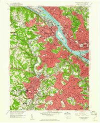
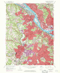
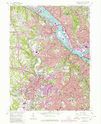
Editions of this 1960 Pittsburgh West Map
4 editions found
Other maps of this area

1904 · Mc Keesport
USGS Topo · 1:62,500

1904 · Carnegie
USGS Topo · 1:62,500

1906 · Carnegie
USGS Topo · 1:62,500

1906 · Sewickley
USGS Topo · 1:62,500

1907 · Pittsburg
USGS Topo · 1:62,500

1908 · Sewickley
USGS Topo · 1:62,500

1908 · Carnegie
USGS Topo · 1:62,500

1908 · New Kensington
USGS Topo · 1:62,500

1910 · New Kensington
USGS Topo · 1:62,500

1948 · Pittsburgh West
USGS Topo · 1:24,000