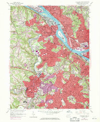
1960 Map of Pittsburgh West
USGS Topo · Published 1971About this map
The Ohio River and its industrial Back Channel anchor this detailed study of the Pittsburgh outskirts, revealing the intense density of rail and river commerce during the mid-century. Major infrastructure projects like the Penn Lincoln Parkway intersect with the legacy of local transportation, including the P and L E RR and P C And Y RY rail lines. The landscape is a mix of heavy industrial hubs near Mc Kees Rocks and residential expansion in Dormont and Mt Lebanon.
Find a feature on this map
153 named features on this map. Tap any name to fly to it.
Don’t see what you’re looking for? This feature index may not catch every label — zoom into the map to look around manually.
Map Details
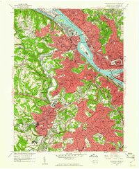
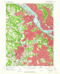
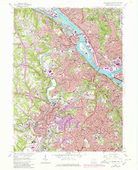
Editions of this 1960 Pittsburgh West Map
4 editions found
Other maps of this area

1904 · Mc Keesport
USGS Topo · 1:62,500

1904 · Carnegie
USGS Topo · 1:62,500

1906 · Carnegie
USGS Topo · 1:62,500

1906 · Sewickley
USGS Topo · 1:62,500

1907 · Pittsburg
USGS Topo · 1:62,500

1908 · Sewickley
USGS Topo · 1:62,500

1908 · Carnegie
USGS Topo · 1:62,500

1908 · New Kensington
USGS Topo · 1:62,500

1910 · New Kensington
USGS Topo · 1:62,500

1948 · Pittsburgh West
USGS Topo · 1:24,000