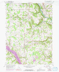
1960 Map of New Lebanon
USGS Topo · Published 1991About this map
French Creek winds through the northeast corner of this Mercer County landscape, where the Erie-Lackawanna railroad follows the water's edge past the settlement of Carlton. The area is defined by its rural character and the distinct valleys of Mill Creek and North Deer Creek. To the southwest, the expansive Lake Wilhelm and Sandy Lake dominate the terrain, providing a stark contrast to the surrounding forested uplands.
Find a feature on this map
32 named features on this map. Tap any name to fly to it.
Don’t see what you’re looking for? This feature index may not catch every label — zoom into the map to look around manually.
Map Details
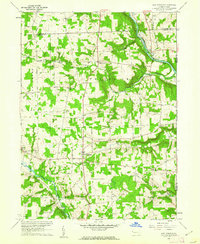
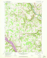
Editions of this 1960 New Lebanon Map
3 editions found
Other maps of this area

1909 · Franklin
USGS Topo · 1:62,500

1911 · Franklin
USGS Topo · 1:62,500

1911 · Stoneboro
USGS Topo · 1:62,500

1913 · Stoneboro
USGS Topo · 1:62,500

1923 · Meadville
USGS Topo · 1:62,500

1925 · Meadville
USGS Topo · 1:62,500

1927 · Townville
USGS Topo · 1:48,000

1932 · Townville
USGS Topo · 1:62,500

1943 · Meadville
USGS Topo · 1:62,500

1943 · Stoneboro
USGS Topo · 1:62,500
Featured Places
- New Vernon Township, PA
- New Lebanon, PA
- Wayne Township, PA
- Deer Creek Township, PA
- Frenchcreek Township, PA