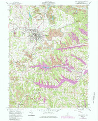
1961 Map of New Lexington
USGS Topo · Published 1985About this map
Perry State Forest and the northern reaches of the Wayne National Forest dominate the southern and eastern landscape of Perry County in this mid-century survey. The area around New Lexington is marked by a complex history of resource extraction, with numerous Strip Mine operations and State Mines carving into the terrain between Moxahala Creek and Rush Creek. The industrial footprint is further evidenced by a dense network of Conrail tracks serving local tipples and the central New Lexington hub.
Find a feature on this map
65 named features on this map. Tap any name to fly to it.
Don’t see what you’re looking for? This feature index may not catch every label — zoom into the map to look around manually.
Map Details
Editions of this 1961 New Lexington Map
4 editions found
Other maps of this area

1907 · Logan
USGS Topo · 1:62,500

1909 · Thornville
USGS Topo · 1:62,500

1909 · Logan
USGS Topo · 1:62,500

1910 · Zanesville
USGS Topo · 1:62,500

1911 · New Lexington
USGS Topo · 1:62,500

1947 · Columbus
USGS Topo · 1:250,000

1961 · Columbus
USGS Topo · 1:250,000

1961 · Corning
USGS Topo · 1:24,000

1961 · New Lexington
USGS Topo · 1:24,000

1961 · Deavertown
USGS Topo · 1:24,000