
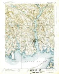
1893 Map of New London
USGS Topo · Published 1893About this map
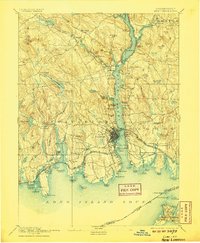
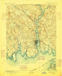
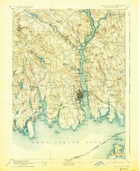
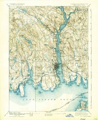
The Thames River serves as the central artery for this 1890s coastal survey, revealing a bustling maritime and industrial corridor in southeastern Connecticut. The densely developed streets of New London and Groton face one another across the water, flanked by critical military and navigational sites including the US Naval Station and Ft Trumbull. This era was defined by a complex network of competing rail lines, with the New York Providence and Boston Railroad and the New London Northern Railroad converging on the harbor. Inland, the landscape transitions to the mill-powered valleys of Montville and Waterford, where Oxoboxo Brook winds through small manufacturing hamlets like Uncasville and Montville. The map captures the shoreline before modern expansion, detailing the natural reach of the Niantic River and the quiet, family-named coves of the Poquonoc Plains.
Find a feature on this map
118 named features on this map. Tap any name to fly to it.
Don’t see what you’re looking for? This feature index may not catch every label — zoom into the map to look around manually.
Map Details
Editions of this 1893 New London Map
10 editions found
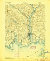
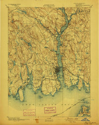
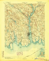
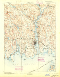
Other maps of this area

1889 · Stonington
USGS Topo · 1:62,500

1889 · Moosup
USGS Topo · 1:62,500

1892 · New London
USGS Topo · 1:62,500

1892 · Norwich
USGS Topo · 1:62,500

1892 · Gilead
USGS Topo · 1:62,500

1893 · Moosup
USGS Topo · 1:62,500

1893 · Stonington
USGS Topo · 1:62,500

1893 · Saybrook
USGS Topo · 1:62,500

1903 · Gardiners Island
USGS Topo · 1:62,500

1904 · Gardiners Island
USGS Topo · 1:62,500