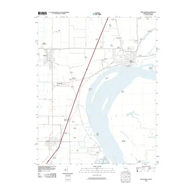
1973 Map of New Madrid
USGS Topo · Published 1973About this map
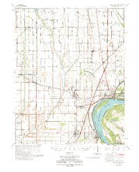
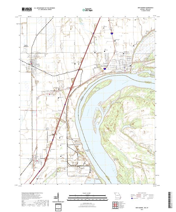
The Mississippi River defines the southeastern border of this 1970s survey, wrapping around Kentucky Point and New Madrid. This landscape is heavily shaped by water management and flood control, evidenced by the New Madrid Revetment and a complex network of drainage features including Ash Slough and Otter Slough. The region's agricultural and industrial infrastructure is anchored by the St Louis Southwestern Railroad and the St Louis San Francisco Railroad, which connect established communities like Lilbourn, Kewanee, and Marston.
Find a feature on this map
74 named features on this map. Tap any name to fly to it.
Don’t see what you’re looking for? This feature index may not catch every label — zoom into the map to look around manually.
Map Details
Editions of this 1973 New Madrid Map
This is the sole edition of this map. No revisions or reprints were ever made.
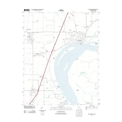
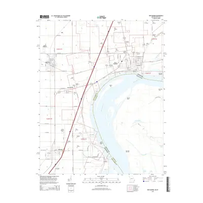
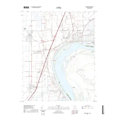
Historical Maps of New Madrid Through Time
9 maps found
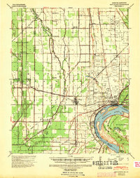
1939 New Madrid
New Madrid County, MO
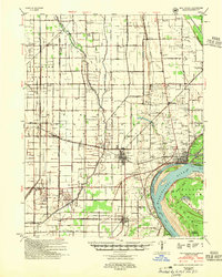
1954 New Madrid
New Madrid County, MO
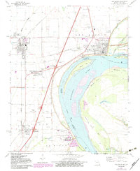
1971 New Madrid
New Madrid County, MO
1973 New Madrid
New Madrid County, MO
2010 New Madrid
New Madrid County, MO
2012 New Madrid
New Madrid County, MO
2015 New Madrid
New Madrid County, MO
2017 New Madrid
New Madrid County, MO
2021 New Madrid
New Madrid County, MO