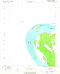
1951 Map of New Madrid SE
USGS Topo · Published 1965About this map
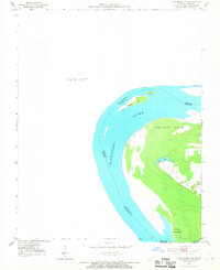
The Mississippi River creates a dramatic sweeping bend around Kentucky Point in this 1951 study, documenting a complex border region where Missouri, Kentucky, and Tennessee meet. This unique geography, influenced by the historic 1812 earthquakes, is defined by shifting river channels and isolated pockets of land. The interior of the point is dominated by Watson Lake, a prominent oxbow remnant, and a network of minor roads that trace the low-lying terrain. Along the river channel, navigational aids like the Light and river features such as Madrid Bar and Toneys Towhead demonstrate the ever-changing nature of the riverbank. This map captures the landscape before modern large-scale drainage, showing the delicate relationship between the alluvial bottomlands and the powerful river that continually reshapes them.
Find a feature on this map
12 named features on this map. Tap any name to fly to it.
Don’t see what you’re looking for? This feature index may not catch every label — zoom into the map to look around manually.
Map Details
Editions of this 1951 New Madrid SE Map
3 editions found
Other maps of this area

1925 · Reelfoot Lake
USGS Topo · 1:62,500

1939 · Reelfoot Lake
USGS Topo · 1:62,500

1939 · Portageville
USGS Topo · 1:62,500

1939 · New Madrid
USGS Topo · 1:62,500

1939 · Bayouville
USGS Topo · 1:62,500

1951 · New Madrid SE
USGS Topo · 1:24,000

1951 · Hubbard Lake
USGS Topo · 1:24,000

1954 · New Madrid
USGS Topo · 1:62,500

1955 · Portageville
USGS Topo · 1:62,500

1955 · Bayouville
USGS Topo · 1:62,500