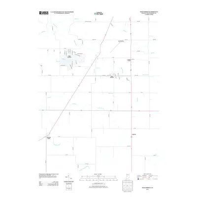
2013 Map of New Market
USGS Topo · Published 2013About this map
The town of New Market serves as the central hub for this portion of Montgomery County, where the agricultural grid is interrupted by a series of winding watercourses. Significant drainage systems including Rattlesnake Cr, Offield Cr, and Indian Cr carve through the landscape, influencing the placement of local roads and farm boundaries. To the northwest, the residential development around Lake Holiday introduces a dense network of streets with names like S Tacoma Trl and W Wellington Blvd, contrasting sharply with the surrounding rural townships.
Find a feature on this map
69 named features on this map. Tap any name to fly to it.
Don’t see what you’re looking for? This feature index may not catch every label — zoom into the map to look around manually.
Map Details
Editions of this 2013 New Market Map
This is the sole edition of this map. No revisions or reprints were ever made.
Other maps of this area

1949 · Alamo
USGS Topo · 1:24,000

1953 · Danville
USGS Topo · 1:250,000

1953 · Indianapolis
USGS Topo · 1:250,000

1955 · Danville
USGS Topo · 1:250,000

1955 · Russellville
USGS Topo · 1:24,000

1956 · Danville
USGS Topo · 1:250,000

1956 · Indianapolis
USGS Topo · 1:250,000

1956 · Crawfordsville
USGS Topo · 1:24,000

1956 · New Market
USGS Topo · 1:24,000

1957 · Indianapolis
USGS Topo · 1:250,000