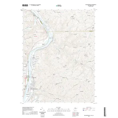
2019 Map of New Martinsville
USGS Topo · Published 2019About this map
New Martinsville serves as a focal point for this survey along the Ohio River, where the landscape is defined by the sharp transition between the river's fertile banks and the high ridges of the Allegheny Plateau. The map documents a dense concentration of local heritage sites, particularly cemeteries like Mount Vernon Cem and Highland Cem that sit atop high ground such as Highland Ridge. Riverfront activity is noted through crossings like the Korean War Veterans' Memorial Bridge and named bottomlands including Buck Hill Bottom and Wells Bottom. Settlements like Proctor, Natrium, and Steelton follow the narrow corridor of the river valley, while the inland areas are marked by complex drainage systems such as Proctor Creek and Fishing Creek, reflecting a region where topography has dictated the patterns of transportation and community development for generations.
Find a feature on this map
88 named features on this map. Tap any name to fly to it.
Don’t see what you’re looking for? This feature index may not catch every label — zoom into the map to look around manually.
Map Details
Editions of this 2019 New Martinsville Map
This is the sole edition of this map. No revisions or reprints were ever made.
Other maps of this area

1903 · Littleton
USGS Topo · 1:62,500

1904 · Cameron
USGS Topo · 1:62,500

1905 · Littleton
USGS Topo · 1:62,500

1905 · Clarington
USGS Topo · 1:62,500

1906 · New Martinsville
USGS Topo · 1:62,500

1924 · New Martinsville
USGS Topo · 1:62,500

1924 · Littleton
USGS Topo · 1:62,500

1926 · Littleton
USGS Topo · 1:62,500

1926 · New Martinsville
USGS Topo · 1:62,500

1935 · Cameron
USGS Topo · 1:62,500