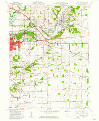
1960 Map of New Paris
USGS Topo · Published 1961About this map
The Indiana-Ohio state line bisects this 1960 landscape, where the eastern industrial expansion of Richmond meets the agricultural townships of Jefferson and Jackson. The Pennsylvania Railroad and the historic National Road serve as primary corridors, anchoring the village of New Paris and smaller settlements like New Westville. The infrastructure of the era is evident in the development of the Middle Fork Reservoir and its associated spillway, alongside local industry represented by numerous gravel pits and a quarry.
Find a feature on this map
77 named features on this map. Tap any name to fly to it.
Don’t see what you’re looking for? This feature index may not catch every label — zoom into the map to look around manually.
Map Details
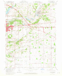
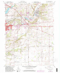
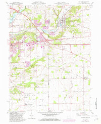
Editions of this 1960 New Paris Map
4 editions found
Other maps of this area

1911 · Oxford
USGS Topo · 1:62,500

1915 · New Paris
USGS Topo · 1:48,000

1915 · College Corner
USGS Topo · 1:48,000

1918 · College Corner
USGS Topo · 1:62,500

1918 · New Paris
USGS Topo · 1:62,500

1953 · Cincinnati
USGS Topo · 1:250,000

1957 · Cincinnati
USGS Topo · 1:250,000

1960 · New Madison
USGS Topo · 1:24,000

1960 · Liberty
USGS Topo · 1:24,000

1960 · Fairhaven
USGS Topo · 1:24,000