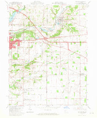
1960 Map of New Paris
USGS Topo · Published 1970About this map
The Indiana-Ohio state line serves as the central spine of this landscape, dividing the agricultural and residential fringes of eastern Richmond from the rural townships of Jefferson and Jackson. The drainage of the East Fork Whitewater River and its tributaries, including Rocky Fork and Elkhorn Creek, dictates the placement of settlements and transport corridors. Significant infrastructure of the 1960s is evident, from the intersection of the National Road and Interstate highways to the Richmond Municipal Airport and East Richmond Airport which anchor the southern and central sections.
Find a feature on this map
44 named features on this map. Tap any name to fly to it.
Don’t see what you’re looking for? This feature index may not catch every label — zoom into the map to look around manually.
Map Details
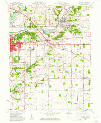
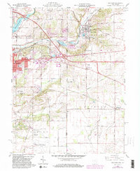
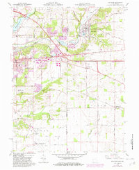
Editions of this 1960 New Paris Map
4 editions found
Other maps of this area

1911 · Oxford
USGS Topo · 1:62,500

1915 · New Paris
USGS Topo · 1:48,000

1915 · College Corner
USGS Topo · 1:48,000

1918 · College Corner
USGS Topo · 1:62,500

1918 · New Paris
USGS Topo · 1:62,500

1953 · Cincinnati
USGS Topo · 1:250,000

1957 · Cincinnati
USGS Topo · 1:250,000

1960 · New Madison
USGS Topo · 1:24,000

1960 · Liberty
USGS Topo · 1:24,000

1960 · Fairhaven
USGS Topo · 1:24,000