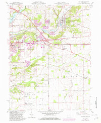
1960 Map of New Paris
USGS Topo · Published 1982About this map
The Indiana-Ohio state line defines this landscape where the Whitewater River and Elkhorn Creek carve through the borderlands between Richmond and New Paris. In the early 1960s, the eastern edge of Richmond shows a mix of industrial and recreational development, featuring Glenn Miller Park and the Forest Hills Golf Course near the Middle Fork Reservoir. The transportation corridor is anchored by the historic National Road and the intersection of the Conrail and Norfolk and Western railroads, which facilitated local trade for decades.
Find a feature on this map
46 named features on this map. Tap any name to fly to it.
Don’t see what you’re looking for? This feature index may not catch every label — zoom into the map to look around manually.
Map Details
Editions of this 1960 New Paris Map
4 editions found
Other maps of this area

1911 · Oxford
USGS Topo · 1:62,500

1915 · New Paris
USGS Topo · 1:48,000

1915 · College Corner
USGS Topo · 1:48,000

1918 · College Corner
USGS Topo · 1:62,500

1918 · New Paris
USGS Topo · 1:62,500

1953 · Cincinnati
USGS Topo · 1:250,000

1957 · Cincinnati
USGS Topo · 1:250,000

1960 · New Madison
USGS Topo · 1:24,000

1960 · Liberty
USGS Topo · 1:24,000

1960 · Fairhaven
USGS Topo · 1:24,000