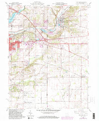
1960 Map of New Paris
USGS Topo · Published 1982About this map
The Indiana and Ohio state line bisects this landscape, marking a transition between the industrial and transit hubs of Richmond and the agricultural villages of Preble County. The Whitewater River and its tributaries, including Elkhorn Creek and Rocky Fork, have carved a distinctive terrain that influenced early settlement and industry, evidenced by the numerous Gravel Pits and the Quarry near the state border.
Find a feature on this map
48 named features on this map. Tap any name to fly to it.
Don’t see what you’re looking for? This feature index may not catch every label — zoom into the map to look around manually.
Map Details
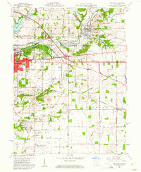
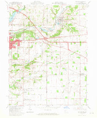
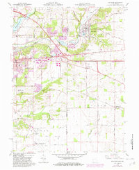
Editions of this 1960 New Paris Map
4 editions found
Other maps of this area

1911 · Oxford
USGS Topo · 1:62,500

1915 · New Paris
USGS Topo · 1:48,000

1915 · College Corner
USGS Topo · 1:48,000

1918 · College Corner
USGS Topo · 1:62,500

1918 · New Paris
USGS Topo · 1:62,500

1953 · Cincinnati
USGS Topo · 1:250,000

1957 · Cincinnati
USGS Topo · 1:250,000

1960 · New Madison
USGS Topo · 1:24,000

1960 · Liberty
USGS Topo · 1:24,000

1960 · Fairhaven
USGS Topo · 1:24,000