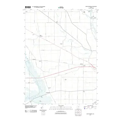
2010 Map of New Pittsburg
USGS Topo · Published 2010About this map
New Pittsburg and its surrounding hamlets occupy a landscape defined by its agricultural grid and the low-lying wetlands of the south. The rural character of Wayne County is preserved here through a dense network of country roads like W Old Lincoln Way and Hiner Rd, connecting small settlements such as Reedsburg, Jefferson, and Blachleyville. The southern portion of the quadrangle is dominated by the sprawling Funk Bottoms and the open expanse of Big Prairie, where the Muddy Fork snakes through the marshy terrain.
Find a feature on this map
63 named features on this map. Tap any name to fly to it.
Don’t see what you’re looking for? This feature index may not catch every label — zoom into the map to look around manually.
Map Details
Editions of this 2010 New Pittsburg Map
This is the sole edition of this map. No revisions or reprints were ever made.
Other maps of this area

1901 · Wooster
USGS Topo · 1:62,500

1903 · Wooster
USGS Topo · 1:62,500

1906 · West Salem
USGS Topo · 1:62,500

1908 · West Salem
USGS Topo · 1:62,500

1912 · Loudonville
USGS Topo · 1:62,500

1914 · Loudonville
USGS Topo · 1:62,500

1915 · Millersburg
USGS Topo · 1:62,500

1943 · Millersburg
USGS Topo · 1:62,500

1943 · Loudonville
USGS Topo · 1:62,500

1950 · Marion
USGS Topo · 1:250,000