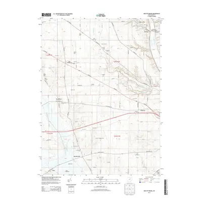
2013 Map of New Pittsburg
USGS Topo · Published 2013About this map
Dairy farming and agriculture define this landscape in Chester Township, where family-named operations like the Schirm Jersey Farm and Chestervue Farms sit alongside small crossroads communities. This area of Ohio shows a distinct settlement pattern focused on high ground between drainage basins, with New Pittsburg and Jefferson serving as central points for the surrounding rural homesteads. The terrain is marked by significant lowland features such as the Funk Bottoms to the south and the winding path of Killbuck Creek to the east.
Find a feature on this map
125 named features on this map. Tap any name to fly to it.
Don’t see what you’re looking for? This feature index may not catch every label — zoom into the map to look around manually.
Map Details
Editions of this 2013 New Pittsburg Map
This is the sole edition of this map. No revisions or reprints were ever made.
Other maps of this area

1901 · Wooster
USGS Topo · 1:62,500

1903 · Wooster
USGS Topo · 1:62,500

1906 · West Salem
USGS Topo · 1:62,500

1908 · West Salem
USGS Topo · 1:62,500

1912 · Loudonville
USGS Topo · 1:62,500

1914 · Loudonville
USGS Topo · 1:62,500

1915 · Millersburg
USGS Topo · 1:62,500

1943 · Millersburg
USGS Topo · 1:62,500

1943 · Loudonville
USGS Topo · 1:62,500

1950 · Marion
USGS Topo · 1:250,000