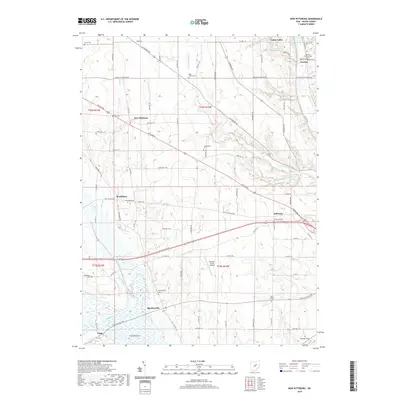
2019 Map of New Pittsburg
USGS Topo · Published 2019About this map
New Pittsburg sits at the intersection of Ashland Rd and Lattasburg Rd, serving as a central hub for this predominantly agricultural landscape in Wayne County. The terrain is defined by a series of north-south drainage systems, including Little Killbuck Cr and Fox Run, which eventually feed into the expansive wetland area known as Funk Bottoms at the southern edge of the sheet. This low-lying region along the Muddy Fork reflects the post-glacial topography of the area, where managed drainage and natural bottomlands meet.
Find a feature on this map
57 named features on this map. Tap any name to fly to it.
Don’t see what you’re looking for? This feature index may not catch every label — zoom into the map to look around manually.
Map Details
Editions of this 2019 New Pittsburg Map
This is the sole edition of this map. No revisions or reprints were ever made.
Other maps of this area

1901 · Wooster
USGS Topo · 1:62,500

1903 · Wooster
USGS Topo · 1:62,500

1906 · West Salem
USGS Topo · 1:62,500

1908 · West Salem
USGS Topo · 1:62,500

1912 · Loudonville
USGS Topo · 1:62,500

1914 · Loudonville
USGS Topo · 1:62,500

1915 · Millersburg
USGS Topo · 1:62,500

1943 · Millersburg
USGS Topo · 1:62,500

1943 · Loudonville
USGS Topo · 1:62,500

1950 · Marion
USGS Topo · 1:250,000