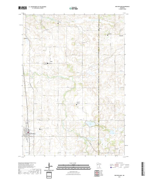
2022 Map of New Richland
USGS Topo · Published 2022About this map
The Le Sueur River and its northern tributary, the Little Le Sueur River, wind through a landscape defined by agricultural grids and deep-rooted Lutheran heritage on the Waseca and Steele county line. This region is dotted with historic congregational centers like Vista Swedish Lutheran Church and the Lesueur River Lutheran Church, reflecting the Scandinavian settlement patterns of southern Minnesota. The town of New Richland anchors the southwest corner, while smaller crossroads like Otisco, Vista, and Lemond serve as community hubs among the fields.
Find a feature on this map
70 named features on this map. Tap any name to fly to it.
Don’t see what you’re looking for? This feature index may not catch every label — zoom into the map to look around manually.
Map Details
Editions of this 2022 New Richland Map
This is the sole edition of this map. No revisions or reprints were ever made.
Other maps of this area

1953 · Saint Paul
USGS Topo · 1:250,000

1954 · Mason City
USGS Topo · 1:250,000

1957 · Mason City
USGS Topo · 1:250,000

1958 · Mason City
USGS Topo · 1:250,000

1959 · Saint Paul
USGS Topo · 1:250,000

1962 · Saco
USGS Topo · 1:24,000

1962 · Meriden
USGS Topo · 1:24,000

1966 · Waseca
USGS Topo · 1:24,000

1967 · Freeborn
USGS Topo · 1:24,000
1967 · Otisco
USGS Topo · 1:24,000