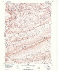
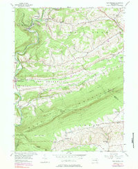
1956 Map of New Ringgold
USGS Topo · Published 1971About this map
The Little Schuylkill River carves through the Appalachian landscape, defining the western edge of this 1950s survey. The corridor of the Reading Company railroad tracks the river's path, serving the industrial and transit needs of settlements like New Ringgold and Reynolds. To the south and east, the elevation rises sharply toward Blue Mountain and Hawk Mountain, where the Appalachian Trail follows the ridge line. This area is characterized by a high density of rural institutions, including the Hawk Mountain Sanctuary and State Game Lands No 106.
Find a feature on this map
46 named features on this map. Tap any name to fly to it.
Don’t see what you’re looking for? This feature index may not catch every label — zoom into the map to look around manually.
Map Details
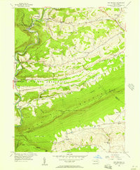
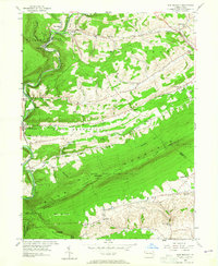
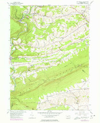
Editions of this 1956 New Ringgold Map
6 editions found

Other maps of this area

1889 · Hazleton
USGS Topo · 1:62,500

1889 · Pottsville
USGS Topo · 1:62,500

1891 · Hazleton
USGS Topo · 1:62,500

1891 · Pottsville
USGS Topo · 1:62,500

1892 · Mahanoy
USGS Topo · 1:62,500

1893 · Hazleton
USGS Topo · 1:62,500

1893 · Mahanoy
USGS Topo · 1:62,500

1909 · Hamburg
USGS Topo · 1:62,500

1911 · Hamburg
USGS Topo · 1:62,500

1944 · Orwigsburg
USGS Topo · 1:24,000
Featured Places
- West Penn Township, PA
- Albany Township, PA
- New Ringgold, PA
- Kepner, West Penn Township
- West Brunswick Township, PA