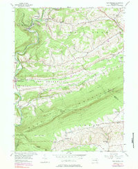
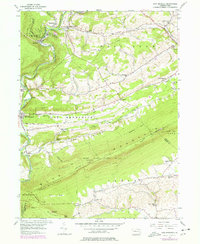
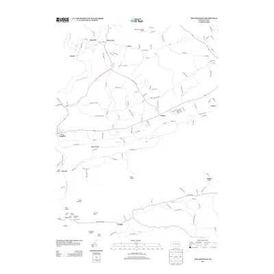
1956 Map of New Ringgold
USGS Topo · Published 1984About this map
The Little Schuylkill River carves a sharp path through the ridges of Blue Mountain and Hawk Mountain, defining the industrial and recreational landscape of this central Pennsylvania region. In the mid-1950s, the terrain shows a mix of heavy coal-related infrastructure, such as the Desilting Basin near Reynolds, alongside established rural communities like New Ringgold and West Penn. The area is characterized by a high concentration of traditional landmarks, including Zions Ch, West Penn Ch, and numerous small schoolhouses like Dorset Sch and Sassamans Sch.
Find a feature on this map
53 named features on this map. Tap any name to fly to it.
Don’t see what you’re looking for? This feature index may not catch every label — zoom into the map to look around manually.
Map Details
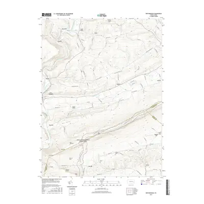
Editions of this 1956 New Ringgold Map
6 editions found

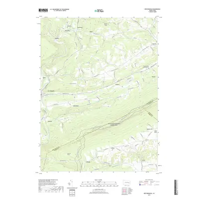
Historical Maps of West Penn Township Through Time
8 maps found
1956 New Ringgold
Schuylkill County, PA
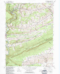
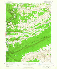
1992 New Ringgold
Schuylkill County, PA
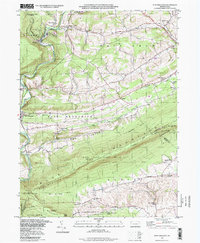
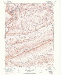
1997 New Ringgold
Schuylkill County, PA
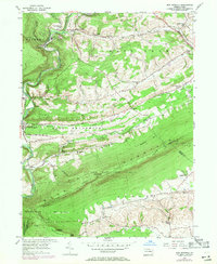
2010 New Ringgold
Schuylkill County, PA
2013 New Ringgold
Schuylkill County, PA
2016 New Ringgold
Schuylkill County, PA
2019 New Ringgold
Schuylkill County, PA
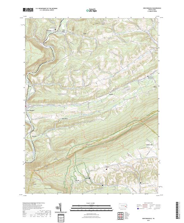
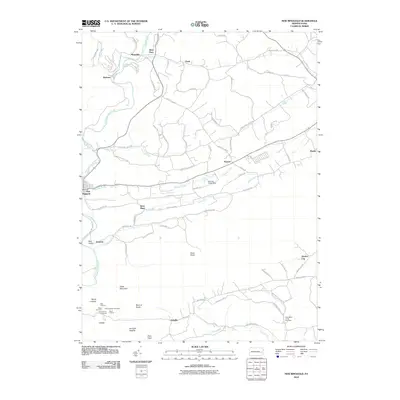
2023 New Ringgold
Schuylkill County, PA
Featured Locations
- Albany Township, PA
- New Ringgold, PA
- West Penn Township, PA
- West Brunswick Township, PA
- Kepner, West Penn Township