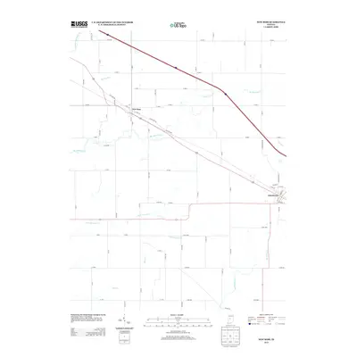
2013 Map of New Ross
USGS Topo · Published 2013About this map
New Ross and Jamestown anchor this western Indiana landscape, characterized by the intricate drainage systems that define the rural agricultural layout. The map traces the winding paths of Big Raccoon Cr as it snakes through the center of the quadrangle, joined by smaller tributaries like Little Raccoon Cr and Cornstalk Cr. This 2013 survey illustrates the persistent importance of local thoroughfares such as New Ross Rd and Old State Rd, which parallel the modern highway corridors. The southern portion of the sheet is marked by the headwaters of Big Walnut Cr and the steady course of Haw Cr, reflecting the region's historical reliance on these watercourses for both boundary-making and drainage. In the eastern sector, the transition from the village of Jamestown into the surrounding fields is clearly delineated by the grid of county roads and local features like Wells Ditch.
Find a feature on this map
71 named features on this map. Tap any name to fly to it.
Don’t see what you’re looking for? This feature index may not catch every label — zoom into the map to look around manually.
Map Details
Editions of this 2013 New Ross Map
This is the sole edition of this map. No revisions or reprints were ever made.
Other maps of this area

1953 · Lizton
USGS Topo · 1:24,000

1953 · Danville
USGS Topo · 1:24,000

1953 · Danville
USGS Topo · 1:250,000

1953 · Indianapolis
USGS Topo · 1:250,000

1955 · Danville
USGS Topo · 1:250,000

1956 · Danville
USGS Topo · 1:250,000

1956 · Indianapolis
USGS Topo · 1:250,000

1957 · Indianapolis
USGS Topo · 1:250,000

1957 · New Ross
USGS Topo · 1:24,000

1958 · Darlington
USGS Topo · 1:24,000