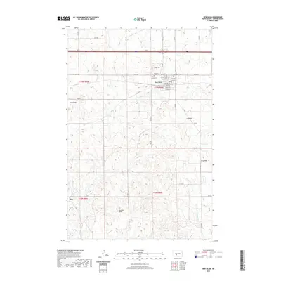
2020 Map of New Salem
USGS Topo · Published 2020About this map
New Salem serves as the central hub of this Morton County landscape, where the grid of the town site meets the rolling topography of the North Dakota prairie. The map documents several significant local landmarks, including School Hill and a cluster of burial grounds such as Graceland Cem, Peace Cem, and the Saint Pius V Catholic Cem. These features, along with the Po downtown, define the civic and spiritual character of the community.
Find a feature on this map
53 named features on this map. Tap any name to fly to it.
Don’t see what you’re looking for? This feature index may not catch every label — zoom into the map to look around manually.
Map Details
Editions of this 2020 New Salem Map
This is the sole edition of this map. No revisions or reprints were ever made.
Other maps of this area

1954 · Bismarck
USGS Topo · 1:250,000

1958 · Bismarck
USGS Topo · 1:250,000

1960 · North Almont
USGS Topo · 1:24,000

1960 · New Salem
USGS Topo · 1:24,000

1970 · Bluegrass
USGS Topo · 1:24,000

1970 · New Salem NW
USGS Topo · 1:24,000

1970 · Judson
USGS Topo · 1:24,000

1970 · New Salem NE
USGS Topo · 1:24,000

1980 · Green Ridge
USGS Topo · 1:24,000

1980 · Almont East
USGS Topo · 1:24,000