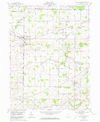
1960 Map of New Washington
USGS Topo · Published 1973About this map
New Washington sits at the heart of this North Central Ohio landscape, where the agricultural grid of Cranberry and Auburn townships meets a network of early transit lines. This 1960 field-checked survey highlights a region defined by its small crossroads settlements and rural parish infrastructure. The Pennsylvania Railroad cuts a diagonal path through the southeastern corner, serving the village of Tiro and the small cluster at Dekalb.
Find a feature on this map
39 named features on this map. Tap any name to fly to it.
Don’t see what you’re looking for? This feature index may not catch every label — zoom into the map to look around manually.
Map Details
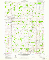
Editions of this 1960 New Washington Map
2 editions found
Other maps of this area

1915 · Norwalk
USGS Topo · 1:62,500

1915 · Siam
USGS Topo · 1:62,500

1915 · Bucyrus
USGS Topo · 1:62,500

1915 · Crestline
USGS Topo · 1:62,500

1943 · Bucyrus
USGS Topo · 1:62,500

1943 · Crestline
USGS Topo · 1:62,500

1944 · Norwalk
USGS Topo · 1:62,500

1950 · Marion
USGS Topo · 1:250,000

1956 · Toledo
USGS Topo · 1:250,000

1960 · North Robinson
USGS Topo · 1:24,000