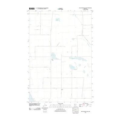
2010 Map of New York Mills NW
USGS Topo · Published 2010About this map
Saint John's Cemetery and Bethlehem Cemetery stand as quiet landmarks within this rural section of Otter Tail County, marking the established community roots in the glacial lake country of Minnesota. The landscape is defined by a dense network of township roads and county highways that navigate around numerous water bodies, including the centrally located Mud Lake and the larger Bear Lake to its east. In the northeastern quadrant, the Redeye River meanders southward, while the southwestern corner touches the edge of Big Pine Lake. This 2010 survey reflects a modern agricultural and residential grid, where arterial routes like County Hwy-53 and County Hwy-8 connect disparate farmsteads and rural residences. The terrain is notably characterized by small, isolated basins like Collett Lake and Edma Lake, which are typical of the region's post-glacial topography.
Find a feature on this map
34 named features on this map. Tap any name to fly to it.
Don’t see what you’re looking for? This feature index may not catch every label — zoom into the map to look around manually.
Map Details
Editions of this 2010 New York Mills NW Map
This is the sole edition of this map. No revisions or reprints were ever made.
Other maps of this area

1915 · Perham
USGS Topo · 1:62,500

1953 · Brainerd
USGS Topo · 1:250,000

1957 · Brainerd
USGS Topo · 1:250,000

1958 · Brainerd
USGS Topo · 1:250,000

1959 · Toad Mountain
USGS Topo · 1:24,000

1965 · Brainerd
USGS Topo · 1:250,000

1969 · Wolf Lake
USGS Topo · 1:24,000

1969 · Evergreen
USGS Topo · 1:24,000

1969 · New York Mills NW
USGS Topo · 1:24,000

1969 · New York Mills West
USGS Topo · 1:24,000