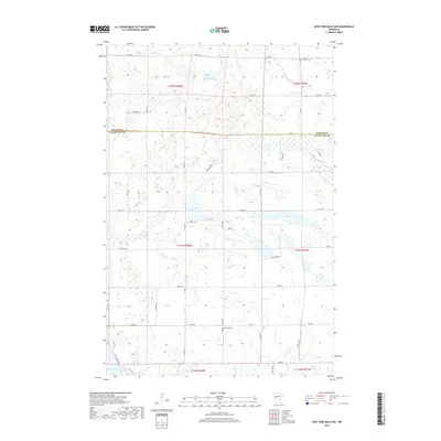
2019 Map of New York Mills NW
USGS Topo · Published 2019About this map
Glacial lakes and wetlands define this northern landscape along the border of Becker and Otter Tail counties. The Redeye River cuts through the northeastern corner of the map, while large water bodies like Bear Lake and Mud Lake anchor the central topography. This area is characterized by a high density of small basins and marshes, reflecting the region's complex post-glacial drainage patterns. Local history is preserved in several rural burial grounds, including Saint John's Cem and Bethlehem Cem in the south, and Spruce Grove Cem to the north. These sites, often associated with early settlement clusters, provide a point of reference for genealogists tracing family roots in this part of Minnesota. The map also traces an extensive network of county highways and local roads, such as Co Hwy 8 and Co Hwy 53, which connect the scattered farms and lakefront properties.
Find a feature on this map
47 named features on this map. Tap any name to fly to it.
Don’t see what you’re looking for? This feature index may not catch every label — zoom into the map to look around manually.
Map Details
Editions of this 2019 New York Mills NW Map
This is the sole edition of this map. No revisions or reprints were ever made.
Other maps of this area

1915 · Perham
USGS Topo · 1:62,500

1953 · Brainerd
USGS Topo · 1:250,000

1957 · Brainerd
USGS Topo · 1:250,000

1958 · Brainerd
USGS Topo · 1:250,000

1959 · Toad Mountain
USGS Topo · 1:24,000

1965 · Brainerd
USGS Topo · 1:250,000

1969 · Wolf Lake
USGS Topo · 1:24,000

1969 · Evergreen
USGS Topo · 1:24,000

1969 · New York Mills NW
USGS Topo · 1:24,000

1969 · New York Mills West
USGS Topo · 1:24,000