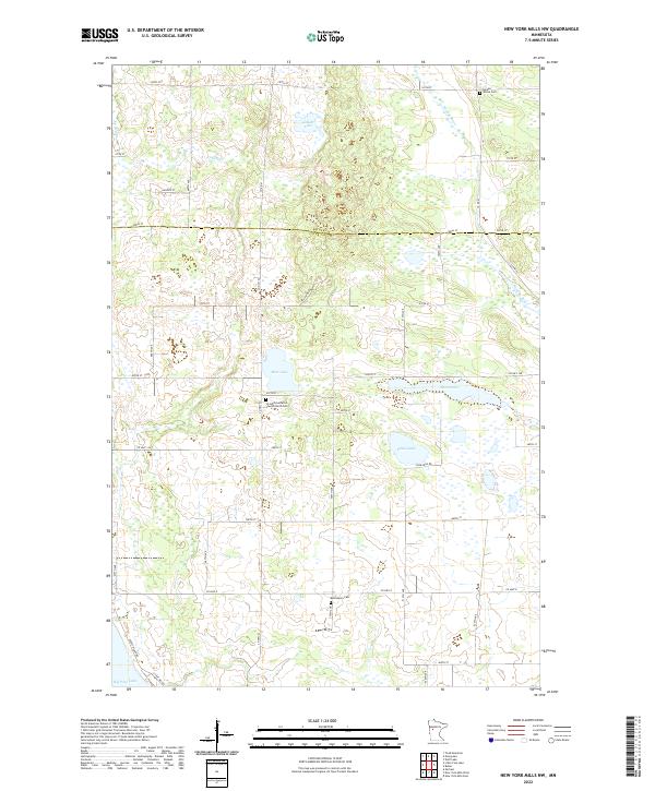
2022 Map of New York Mills NW
USGS Topo · Published 2022About this map
The boundary between Becker and Otter Tail counties divides this northern Minnesota landscape, where the headwaters of the Redeye River and Collett Creek meander through a dense network of glacial lakes and wetlands. The area is defined by its rural character and a scatter of community landmarks that suggest a long-standing agricultural foundation. Bear Lake, Collett Lake, and Edna Lake dominate the hydrography, surrounded by a grid of county roads and highways that connect isolated farmsteads and rural parishes.
Find a feature on this map
48 named features on this map. Tap any name to fly to it.
Don’t see what you’re looking for? This feature index may not catch every label — zoom into the map to look around manually.
Map Details
Editions of this 2022 New York Mills NW Map
This is the sole edition of this map. No revisions or reprints were ever made.
Other maps of this area

1915 · Perham
USGS Topo · 1:62,500

1953 · Brainerd
USGS Topo · 1:250,000

1957 · Brainerd
USGS Topo · 1:250,000

1958 · Brainerd
USGS Topo · 1:250,000

1959 · Toad Mountain
USGS Topo · 1:24,000

1965 · Brainerd
USGS Topo · 1:250,000

1969 · Wolf Lake
USGS Topo · 1:24,000

1969 · Evergreen
USGS Topo · 1:24,000

1969 · New York Mills NW
USGS Topo · 1:24,000

1969 · New York Mills West
USGS Topo · 1:24,000