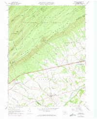
1966 Map of Newburg
USGS Topo · Published 1973About this map
Newburg and the agricultural lands of Hopewell Township define the southern portion of this mid-1960s survey, transitioning northward into the dramatic slopes of Tuscarora Mountain and Blue Mountain. The landscape is bisected by the Pennsylvania Turnpike, which cuts a straight line through the valley floor, south of the Tuscarora State Forest. This era shows a settled rural economy where small communities like McKinney and religious landmarks such as Zion Ch and Mt Tabor Ch serve as local anchors.
Find a feature on this map
60 named features on this map. Tap any name to fly to it.
Don’t see what you’re looking for? This feature index may not catch every label — zoom into the map to look around manually.
Map Details
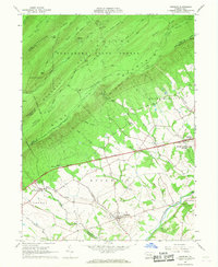
Editions of this 1966 Newburg Map
2 editions found
Other maps of this area

1919 · Newville
USGS Topo · 1:62,500

1919 · Mattawana
USGS Topo · 1:62,500

1923 · Shippensburg
USGS Topo · 1:62,500

1930 · Loysville
USGS Topo · 1:62,500

1933 · Loysville
USGS Topo · 1:62,500

1936 · East Waterford
USGS Topo · 1:48,000

1941 · East Waterford
USGS Topo · 1:62,500

1943 · Shippensburg
USGS Topo · 1:62,500

1945 · Newville
USGS Topo · 1:62,500

1945 · Shippensburg
USGS Topo · 1:62,500
Featured Places
- Lurgan Township, PA
- Newburg, Hopewell Township
- North Newton Township, PA
- Lower Mifflin Township, PA
- Jackson Township, PA