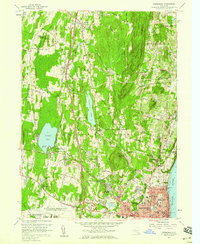
1957 Map of Newburgh
USGS Topo · Published 1959About this map
The U S Military Reservation Stewart Air Force Base and the emerging corridor of the Thruway define the mid-century development of the western bank of the Hudson River. In the city of Newburgh, dense urban detail reveals landmarks such as the Free Academy, St Lukes Hospital, and Downing Park. The landscape transitions from this industrial and civic hub into rural upland communities like Plattekill and Leptondale, where small landmarks like Our Lady of Fatima Ch and the Union Grove Sch mark the social centers of the era. To the west, Orange Lake remains a prominent feature, complete with the Pine Pt Casino, while the steep ridges of Marlborough Mountain overlook the valley's mix of apple orchards and spreading residential post-war growth.
Find a feature on this map
61 named features on this map. Tap any name to fly to it.
Don’t see what you’re looking for? This feature index may not catch every label — zoom into the map to look around manually.
Map Details
Editions of this 1957 Newburgh Map
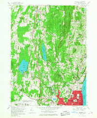
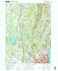
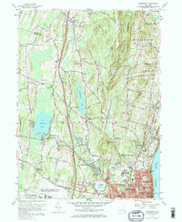
4 editions found
Other maps of this area

1892 · West Point
USGS Topo · 1:62,500

1893 · Poughkeepsie
USGS Topo · 1:62,500

1894 · West Point
USGS Topo · 1:62,500

1894 · Poughkeepsie
USGS Topo · 1:62,500

1899 · West Point
USGS Topo · 1:62,500

1901 · West Point
USGS Topo · 1:62,500

1902 · Schunemunk
USGS Topo · 1:62,500

1903 · Poughkeepsie
USGS Topo · 1:62,500

1903 · Newburg
USGS Topo · 1:62,500

1930 · Schunemunk
USGS Topo · 1:48,000