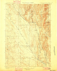
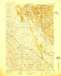
1901 Map of Newcastle
USGS Topo · Published 1901About this map
Newcastle serves as the focal point of this 1899 survey, situated at the edge of the Black Hills Forest Reserve where the high country meets the plains of Weston County. The landscape is defined by the industrial and transport infrastructure of the era, specifically the Burlington and Missouri River R. R. and its Cambria Br., which reaches north into the rugged terrain near the mining settlement of Cambria. The mapping captures a network of early cattle operations and remote outposts, including the Lak Ranch and S and G Ranch.
Find a feature on this map
39 named features on this map. Tap any name to fly to it.
Don’t see what you’re looking for? This feature index may not catch every label — zoom into the map to look around manually.
Map Details
Editions of this 1901 Newcastle Map
3 editions found
Other maps of this area
1894 · Deadwood
USGS Topo · 1:125,000
1896 · Harney Peak
USGS Topo · 1:125,000
1898 · Sundance
USGS Topo · 1:125,000
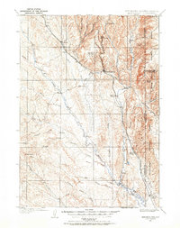
1899 · Newcastle
USGS Topo · 1:125,000
1901 · Harney Peak
USGS Topo · 1:125,000
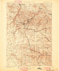
1901 · Deadwood
USGS Topo · 1:125,000
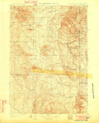
1902 · Sundance
USGS Topo · 1:125,000
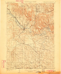
1902 · Edgemont
USGS Topo · 1:125,000
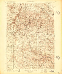
1916 · Deadwood
USGS Topo · 1:125,000
1918 · Moorcroft
USGS Topo · 1:125,000