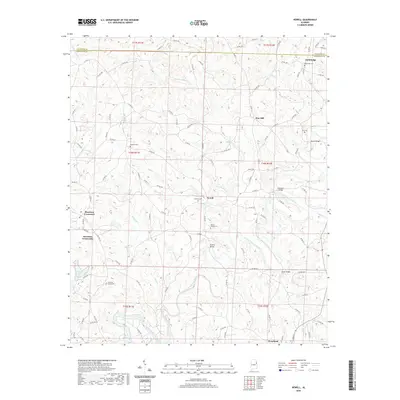
2020 Map of Newell
USGS Topo · Published 2020About this map
Newell and the surrounding rural communities of Randolph County are centered on the winding path of the Little Tallapoosa River as it moves toward the Georgia border. This upland terrain is defined by a dense network of county roads connecting small settlements like Woodland, Gold Ridge, and Pine Hill. The area retains a traditional layout of family-named landmarks and local burial grounds, including the Antioch Cem, Mount Gilead Cem, and Old Cool Spring Cem, providing significant detail for those tracing local lineages. Waterways such as Cohobadiah Cr and Wolf Cr feed into the river, crossed by notable local spans including Lamar Bridge and Shelton Bridge. The map captures the quiet, dispersed settlement pattern of east-central Alabama, where small crossroads like Morrison Crossroads serve as the primary landmarks in a landscape defined by creeks and ridges.
Find a feature on this map
114 named features on this map. Tap any name to fly to it.
Don’t see what you’re looking for? This feature index may not catch every label — zoom into the map to look around manually.
Map Details
Editions of this 2020 Newell Map
This is the sole edition of this map. No revisions or reprints were ever made.
Other maps of this area

1889 · Tallapoosa
USGS Topo · 1:125,000

1891 · Ashland
USGS Topo · 1:125,000

1892 · Tallapoosa
USGS Topo · 1:125,000

1897 · Tallapoosa
USGS Topo · 1:125,000

1899 · Wedowee
USGS Topo · 1:125,000

1900 · Anniston
USGS Topo · 1:125,000

1902 · Wedowee
USGS Topo · 1:125,000

1953 · Atlanta
USGS Topo · 1:250,000

1957 · Atlanta
USGS Topo · 1:250,000

1958 · Atlanta
USGS Topo · 1:250,000