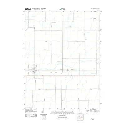
2012 Map of Newman
USGS Topo · Published 2012About this map
Newman serves as the primary hub in this agricultural landscape of Douglas County, where a rigid grid of county roads defines the territory. The town's detailed street plan includes local landmarks like W Green St and N Howard St, positioned near the winding path of Brushy Fork. This drainage network is essential to the region's productivity, evidenced by numerous named waterways such as Jordan Slough, Pope Br, and Gilkey Br that weave between farm fields. Smaller rural clusters and named intersections like McCown, Palermo, and Hughes provide important geographical markers for genealogists tracing family land in the early 21st century. The presence of Pleasant Ridge Cem north of town offers a specific point of interest for local history researchers and those documenting early area residents within this well-established Illinois prairie community.
Find a feature on this map
82 named features on this map. Tap any name to fly to it.
Don’t see what you’re looking for? This feature index may not catch every label — zoom into the map to look around manually.
Map Details
Editions of this 2012 Newman Map
This is the sole edition of this map. No revisions or reprints were ever made.
Other maps of this area

1936 · Oakland
USGS Topo · 1:48,000

1942 · Oakland
USGS Topo · 1:62,500

1946 · Kansas
USGS Topo · 1:62,500

1949 · Kansas
USGS Topo · 1:62,500

1953 · Indianapolis
USGS Topo · 1:250,000

1956 · Indianapolis
USGS Topo · 1:250,000

1956 · Newman
USGS Topo · 1:62,500

1956 · Villa Grove
USGS Topo · 1:62,500

1957 · Indianapolis
USGS Topo · 1:250,000

1958 · Decatur
USGS Topo · 1:250,000