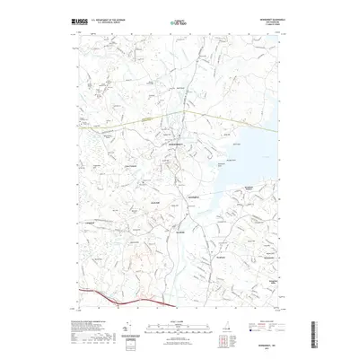
2021 Map of Newmarket
USGS Topo · Published 2021About this map
Newmarket and Newfields sit along the tidal Squamscott River, where the waterway opens into the Upper Narrows and the wide expanse of Great Bay. This coastal landscape is defined by its maritime and industrial heritage, with the Lamprey River flowing through the center of the region. The map reveals a dense concentration of historical burial sites, including the Cheswell Cem and the Smith Family Cem, reflecting centuries of local family history.
Find a feature on this map
204 named features on this map. Tap any name to fly to it.
Don’t see what you’re looking for? This feature index may not catch every label — zoom into the map to look around manually.
Map Details
Editions of this 2021 Newmarket Map
This is the sole edition of this map. No revisions or reprints were ever made.
Other maps of this area

1888 · Newburyport
USGS Topo · 1:62,500

1888 · Haverhill
USGS Topo · 1:62,500

1890 · Haverhill
USGS Topo · 1:62,500

1890 · Newburyport
USGS Topo · 1:62,500

1893 · Dover
USGS Topo · 1:62,500

1893 · Haverhill
USGS Topo · 1:62,500

1894 · Newburyport
USGS Topo · 1:62,500

1916 · Dover
USGS Topo · 1:62,500

1917 · Mt. Pawtuckaway
USGS Topo · 1:62,500

1918 · Dover
USGS Topo · 1:62,500