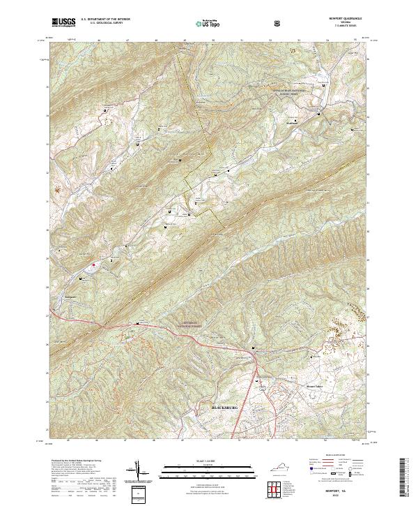
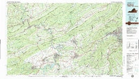
2022 Map of Newport
USGS Topo · Published 2022About this map
Blacksburg and the surrounding ridgelines of the Jefferson National Forest define this landscape along the border of Giles and Montgomery Counties. The topography is dominated by the parallel rises of Sinking Creek Mtn and Brush Mtn, creating a series of deep hollows and gaps that have historically dictated travel and settlement. Rural communities such as Newport and Huffman sit at key crossroads, while the Appalachian National Scenic Trail winds across Piney Ridge and Wolf Knob.
Find a feature on this map
81 named features on this map. Tap any name to fly to it.
Don’t see what you’re looking for? This feature index may not catch every label — zoom into the map to look around manually.
Map Details
Editions of this 2022 Newport Map
This is the sole edition of this map. No revisions or reprints were ever made.
Historical Maps of Newport Through Time
13 maps found
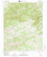
1965 Ironto
Montgomery County, VA
1965 Mc Donalds Mill
Montgomery County, VA
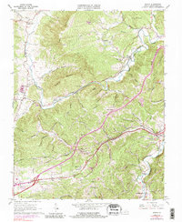
1965 Newport
Montgomery County, VA
1965 Pilot
Montgomery County, VA

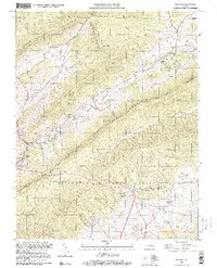
1965 Radford North
Montgomery County, VA
1982 Radford
Montgomery County, VA
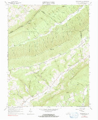
1998 Newport
Montgomery County, VA
1998 Radford North
Montgomery County, VA
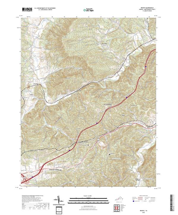
2022 Ironto
Montgomery County, VA
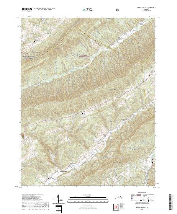
2022 McDonalds Mill
Montgomery County, VA
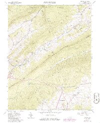
2022 Newport
Montgomery County, VA
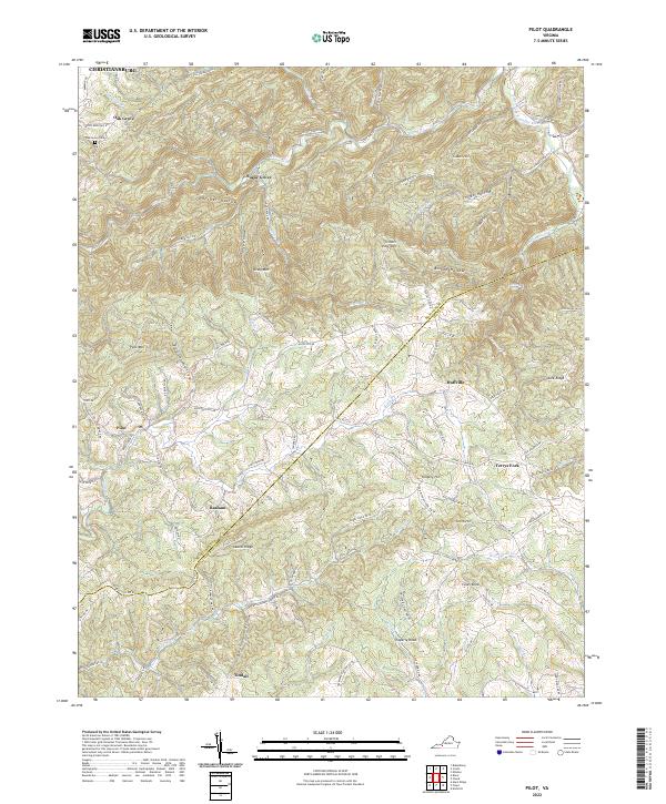
2022 Pilot
Montgomery County, VA
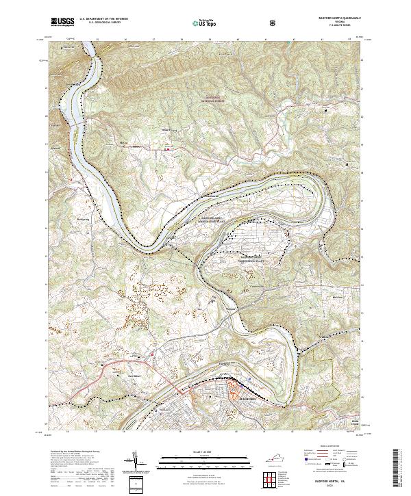
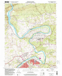
2022 Radford North
Montgomery County, VA