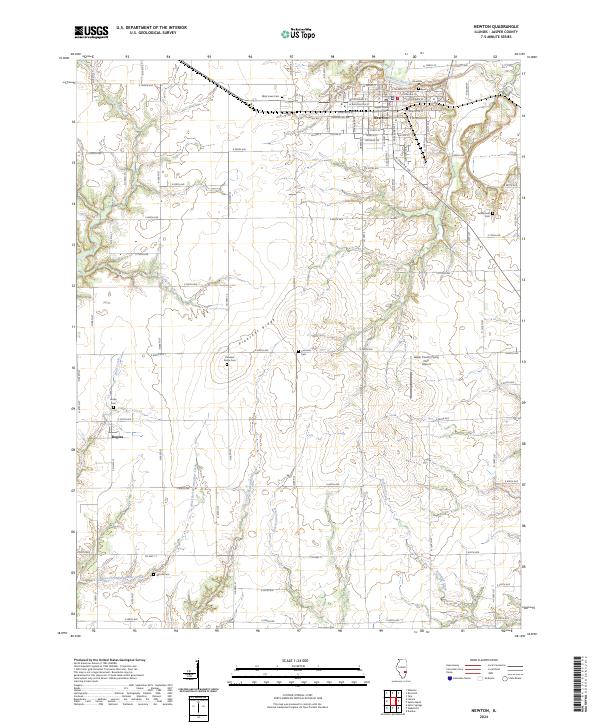
2024 Map of Newton
USGS Topo · Published 2024About this map
The Jasper County Courthouse serves as the central landmark for Newton, where the town grid meets the winding Embarras River. This Jasper County landscape is defined by a dense network of sectional roads and small rural cemeteries, such as Honey Cem near Bogota and Vanderhoof Cem to the east. These burial sites, often associated with early family plots and church congregations, offer critical data for genealogists tracing 19th and 20th-century residents. The terrain transitions from the river bottomlands to the elevated Pleasant Ridge, which is drained by a series of creeks including Wolf Creek and the West Fork Wetweather Creek. Transportation and local infrastructure are represented by the Jasper County Flying Club Airport and a rigorous system of county roads that have organized the agricultural life of this Illinois prairie region for generations.
Find a feature on this map
85 named features on this map. Tap any name to fly to it.
Don’t see what you’re looking for? This feature index may not catch every label — zoom into the map to look around manually.
Map Details
Editions of this 2024 Newton Map
This is the sole edition of this map. No revisions or reprints were ever made.
Other maps of this area

1940 · Greenup
USGS Topo · 1:62,500

1941 · Newton
USGS Topo · 1:62,500

1943 · Greenup
USGS Topo · 1:62,500

1943 · Newton
USGS Topo · 1:62,500

1953 · Teutopolis
USGS Topo · 1:62,500

1953 · Sailor Springs
USGS Topo · 1:62,500

1958 · Decatur
USGS Topo · 1:250,000

1958 · Belleville
USGS Topo · 1:250,000

1961 · Decatur
USGS Topo · 1:250,000

1962 · Belleville
USGS Topo · 1:250,000