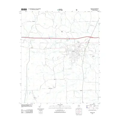
2012 Map of Newton
USGS Topo · Published 2012About this map
Newton serves as the central hub of this Mississippi landscape, where a dense network of local streets meets the primary regional thoroughfares. The town's deep community history is anchored by several burial grounds, including the Masonic Cem and the Baptist Cem, while the Doolittle Confederate Cem provides a specific point of reference for researchers of 19th-century history. Surrounding the urban center are smaller crossroads and rural communities like Cedar Grove, Bethel, and Pilgrim Grove, each situated among a complex drainage system of creeks and branches.
Find a feature on this map
129 named features on this map. Tap any name to fly to it.
Don’t see what you’re looking for? This feature index may not catch every label — zoom into the map to look around manually.
Map Details
Editions of this 2012 Newton Map
This is the sole edition of this map. No revisions or reprints were ever made.
Other maps of this area

1921 · Forest
USGS Topo · 1:48,000

1922 · Forest
USGS Topo · 1:62,500

1950 · Forest
USGS Topo · 1:62,500

1952 · Forest
USGS Topo · 1:62,500

1953 · Meridian
USGS Topo · 1:250,000

1957 · Meridian
USGS Topo · 1:250,000

1965 · Meridian
USGS Topo · 1:250,000

1966 · Hickory
USGS Topo · 1:24,000

1966 · Newton
USGS Topo · 1:24,000

1966 · Decatur NW
USGS Topo · 1:24,000