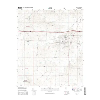
2015 Map of Newton
USGS Topo · Published 2015About this map
Newton serves as the central hub of this Mississippi landscape, positioned where several key roads converge and surrounded by smaller rural settlements. To the south and west, the map details the expansive reach of the Bienville National Forest near Pilgrim Grove and Nance Hill. The area's cultural history is marked by several burial sites, including the Confederate Cem, Baptist Cem, and Masonic Cem, indicating a long-established community structure. Waterways like Potterchitto Cr and Tarlow Cr weave through the terrain, connecting the outlying hamlets of Lawrence, Cedar Grove, and Ebenezer. The presence of James H Easom Field on the east side of town highlights modern transportation infrastructure alongside the older network of county roads like Wire Rd and Newton-Conehatta Rd.
Find a feature on this map
114 named features on this map. Tap any name to fly to it.
Don’t see what you’re looking for? This feature index may not catch every label — zoom into the map to look around manually.
Map Details
Editions of this 2015 Newton Map
This is the sole edition of this map. No revisions or reprints were ever made.
Other maps of this area

1921 · Forest
USGS Topo · 1:48,000

1922 · Forest
USGS Topo · 1:62,500

1950 · Forest
USGS Topo · 1:62,500

1952 · Forest
USGS Topo · 1:62,500

1953 · Meridian
USGS Topo · 1:250,000

1957 · Meridian
USGS Topo · 1:250,000

1965 · Meridian
USGS Topo · 1:250,000

1966 · Hickory
USGS Topo · 1:24,000

1966 · Newton
USGS Topo · 1:24,000

1966 · Decatur NW
USGS Topo · 1:24,000