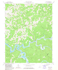
1967 Map of Newville
USGS Topo · Published 1981About this map
The winding waters of Sutton Lake and the Elk River dominate the southern landscape of this central West Virginia survey. The era is defined by the coexistence of rural mountain settlements like Newville and Bakers Run alongside the development of the U S Reservation Boundary. The rugged topography is characterized by prominent elevations such as High Knob and Ware Mtn, which separate the various forks of Saltlick Creek and the Little Kanawha River. Local history is preserved through family-named landmarks and institutions, including the Stonecoal Sch and Gibson Cem. The presence of pipelines and the Baltimore and Ohio railroad line tracing the riverbanks highlights the region's intersection of natural resources and transportation infrastructure in the late 1960s.
Find a feature on this map
66 named features on this map. Tap any name to fly to it.
Don’t see what you’re looking for? This feature index may not catch every label — zoom into the map to look around manually.
Map Details
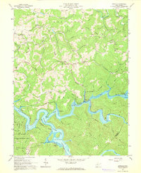
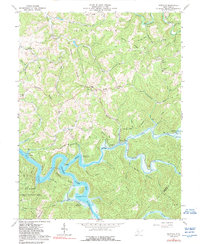
Editions of this 1967 Newville Map
3 editions found
Other maps of this area

1893 · Buckhannon
USGS Topo · 1:125,000

1893 · Sutton
USGS Topo · 1:125,000

1896 · Buckhannon
USGS Topo · 1:125,000

1897 · Buckhannon
USGS Topo · 1:125,000

1906 · Burnsville
USGS Topo · 1:62,500

1908 · Sutton
USGS Topo · 1:48,000

1910 · Sutton Special
USGS Topo · 1:62,500

1912 · Crawford
USGS Topo · 1:48,000

1913 · Hacker Valley
USGS Topo · 1:48,000

1914 · Crawford
USGS Topo · 1:62,500