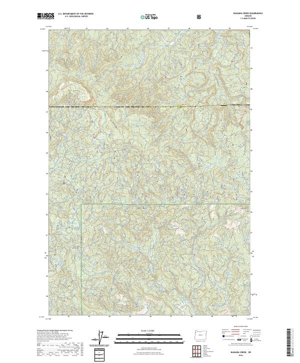
2024 Map of Niagara Creek
USGS Topo · Published 2024About this map
Siuslaw National Forest dominates the terrain of this quadrangle at the border of Tillamook and Yamhill counties. The landscape is defined by the significant elevation of Mt Hebo and the nearby Little Hebo, where the historic Pioneer Indian Trl traces a path through the high country. This network of ridgelines, including Burnt Ridge and a formation known as the Tetons, forms the headwaters for numerous drainage systems. Water flows outward from these heights through Niagara Creek, Agency Creek, and the Dahl Fork, creating a deeply dissected topography of creek beds and forks. Two small bodies of water, North Lake and South Lake, sit perched near the crest of the range. The presence of SW Agency Creek Rd and SW Yoncalla Creek Rd indicates the primary modern access points into these timberlands, where the boundary between t4s r9w and t4s r8w marks the divide between coastal and inland-facing slopes.
Find a feature on this map
39 named features on this map. Tap any name to fly to it.
Don’t see what you’re looking for? This feature index may not catch every label — zoom into the map to look around manually.
Map Details
Editions of this 2024 Niagara Creek Map
This is the sole edition of this map. No revisions or reprints were ever made.
Historical Maps of Yamhill County Through Time
21 maps found

1924 Mc Minnville
Yamhill County, OR
1926 Mc Minnville
Yamhill County, OR

1942 Fairdale
Yamhill County, OR

1942 Spirit Mtn
Yamhill County, OR
1955 Fairdale
Yamhill County, OR
1957 Mc Minnville
Yamhill County, OR
1979 Fairdale
Yamhill County, OR
1979 Midway
Yamhill County, OR
1979 Muddy Valley
Yamhill County, OR
1979 Niagara Creek
Yamhill County, OR
1979 Springer Mtn
Yamhill County, OR
1979 Stony Mountain
Yamhill County, OR
1979 Trask Mtn
Yamhill County, OR
1980 Yamhill River
Yamhill County, OR
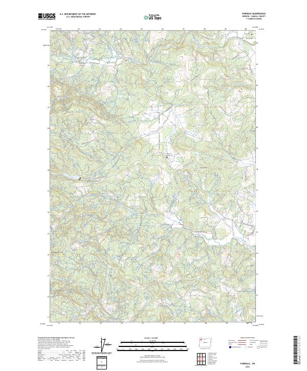
2023 Fairdale
Yamhill County, OR
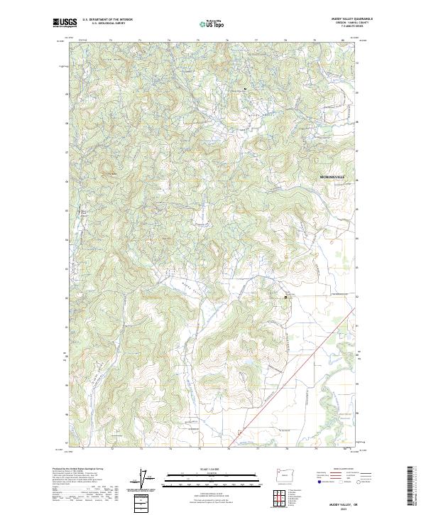
2023 Muddy Valley
Yamhill County, OR
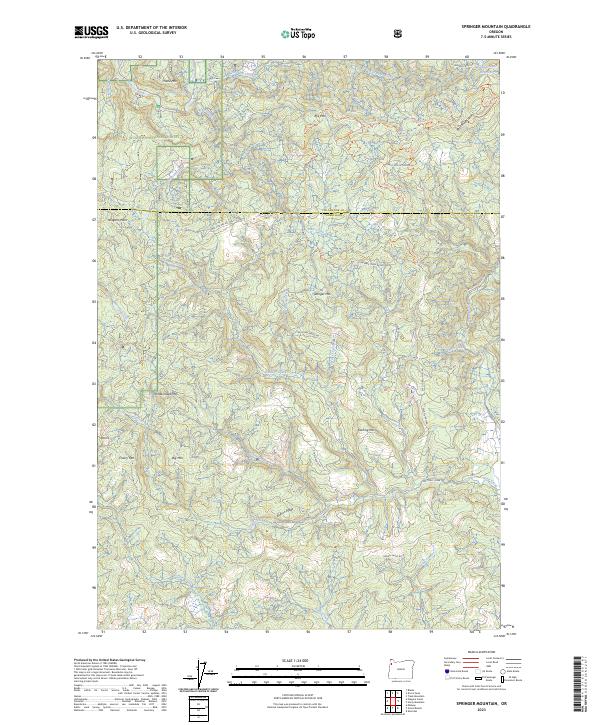
2023 Springer Mountain
Yamhill County, OR
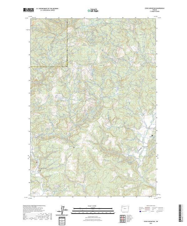
2023 Stony Mountain
Yamhill County, OR
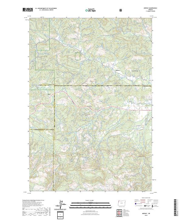
2024 Midway
Yamhill County, OR
2024 Niagara Creek
Yamhill County, OR
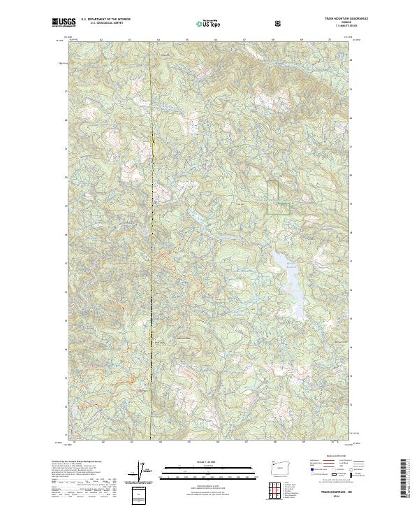
2024 Trask Mountain
Yamhill County, OR