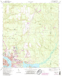
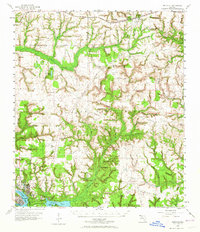
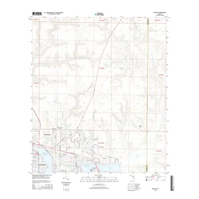
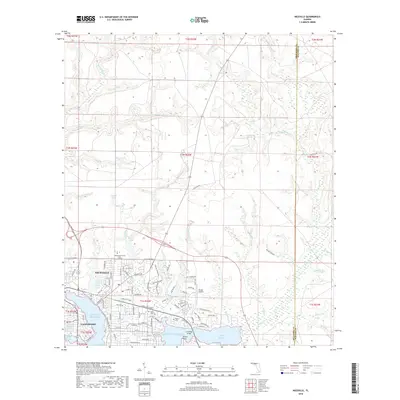
1970 Map of Niceville
USGS Topo · Published 1988About this map
Niceville and Valparaiso center this coastal landscape where the waters of Boggy Bayou and Toms Bayou meet the sprawling Eglin Air Force Base. The transition from mid-century military infrastructure to regional education and recreation is evident through the presence of Okaloosa-Walton Jr College and the Fred Gannon Rocky Bayou State Park. This 1970s era documentation, later photorevised to include updated urban areas, shows the intricate neighborhood street grids of the Pinecrest Community and the proximity of the U.S. Government Railroad to residential zones.
Find a feature on this map
68 named features on this map. Tap any name to fly to it.
Don’t see what you’re looking for? This feature index may not catch every label — zoom into the map to look around manually.
Map Details
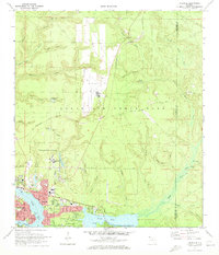
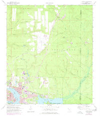
Editions of this 1970 Niceville Map
4 editions found
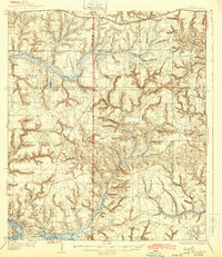
Historical Maps of Niceville Through Time
10 maps found

1934 Niceville
Okaloosa County, FL
1936 Niceville
Okaloosa County, FL
1956 Niceville
Okaloosa County, FL
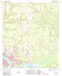
1970 Niceville
Okaloosa County, FL
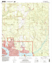
1994 Niceville
Okaloosa County, FL
2012 Niceville
Okaloosa County, FL
2015 Niceville
Okaloosa County, FL
2018 Niceville
Okaloosa County, FL

2021 Niceville
Okaloosa County, FL
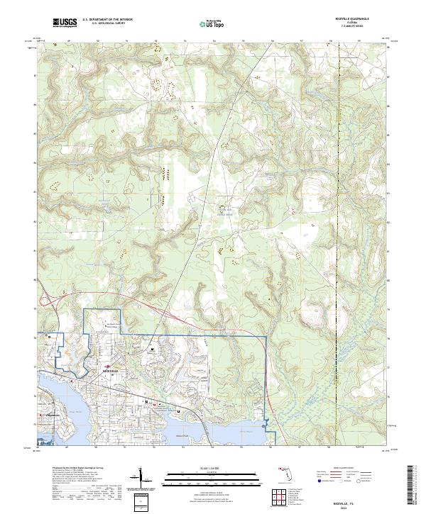
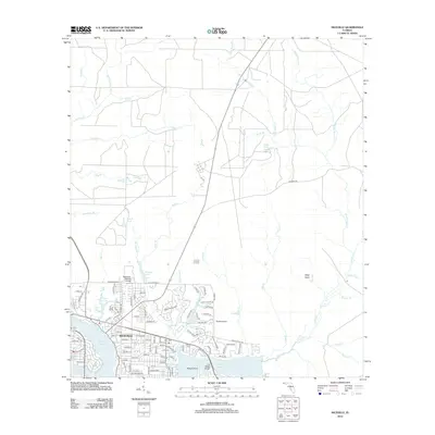
2024 Niceville
Okaloosa County, FL