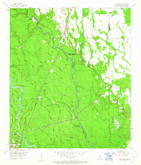
1955 Map of Nicholson
USGS Topo · Published 1963About this map
The Pearl River and its intricate network of bayous and sloughs dominate this borderland landscape between Mississippi and Louisiana in the mid-1950s. The Southern railroad corridor provides the primary inland artery, anchoring the community of Nicholson and smaller settlements like Murree and Santa Rosa. The transition from the alluvial bottomlands to the slightly higher ground of Pearl River County is marked by a series of country churches, including Red Hill Ch and Oak Ridge Ch, which served these dispersed rural communities before modern highway expansion shifted local travel patterns.
Find a feature on this map
59 named features on this map. Tap any name to fly to it.
Don’t see what you’re looking for? This feature index may not catch every label — zoom into the map to look around manually.
Map Details
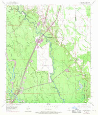
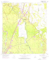
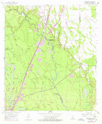
Editions of this 1955 Nicholson Map
5 editions found

Other maps of this area

1914 · Nicholson
USGS Topo · 1:62,500

1921 · Nicholson
USGS Topo · 1:62,500

1935 · Slidell
USGS Topo · 1:62,500

1939 · Slidell
USGS Topo · 1:62,500

1941 · Honey Island
USGS Topo · 1:31,680

1942 · Walkiah Bluff
USGS Topo · 1:31,680

1950 · Haaswood
USGS Topo · 1:31,680

1950 · Slidell
USGS Topo · 1:62,500

1953 · Mobile
USGS Topo · 1:250,000

1954 · Haaswood
USGS Topo · 1:31,680