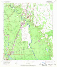
1955 Map of Nicholson
USGS Topo · Published 1971About this map
The Pearl River forms a complex, shifting border between Mississippi and Louisiana, defining a landscape of dense bayous and bottomlands. Along the eastern bluffs, the Southern RR corridor anchors the community of Nicholson, where 1970 revisions indicate expanding residential areas and a local trailer park. The terrain to the west is a labyrinth of water, including Crooked Bayou, Turkey Lake, and Bilbo Lake, illustrating the hydrological complexity of the Pearl River basin.
Find a feature on this map
60 named features on this map. Tap any name to fly to it.
Don’t see what you’re looking for? This feature index may not catch every label — zoom into the map to look around manually.
Map Details
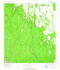
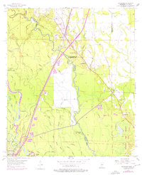
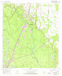
Editions of this 1955 Nicholson Map
5 editions found

Other maps of this area

1914 · Nicholson
USGS Topo · 1:62,500

1921 · Nicholson
USGS Topo · 1:62,500

1935 · Slidell
USGS Topo · 1:62,500

1939 · Slidell
USGS Topo · 1:62,500

1941 · Honey Island
USGS Topo · 1:31,680

1942 · Walkiah Bluff
USGS Topo · 1:31,680

1950 · Haaswood
USGS Topo · 1:31,680

1950 · Slidell
USGS Topo · 1:62,500

1953 · Mobile
USGS Topo · 1:250,000

1954 · Haaswood
USGS Topo · 1:31,680