
1921 Map of Nicholville
USGS Topo · Published 1921About this map
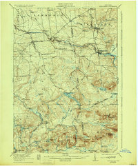
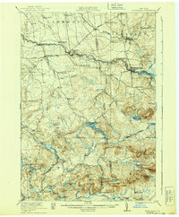
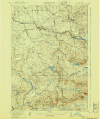
The East Branch St Regis River and its western counterpart carve through the densely wooded Adirondack foothills, defining the industrial and social life of this region in the early 1920s. Centered on the boundary of St Lawrence and Franklin counties, the map reveals a landscape transitioning from the riverside mills of St Regis Falls and Days Mill to the higher elevations of the southern interior. A remarkably dense network of numbered schoolhouses, such as School No 5 and the named Merchant Street School, indicates a well-distributed rural population connected by routes like the Turnpike and State Road. Recreation and timber interests are evident near Lake Ozonia and the Cooperage Club, while named peaks like Blue Mtn and Sugar Grove Mtn overlook a complex system of ponds and marshes including Wheeler Marsh and Sterling Pond.
Find a feature on this map
86 named features on this map. Tap any name to fly to it.
Don’t see what you’re looking for? This feature index may not catch every label — zoom into the map to look around manually.
Map Details
Editions of this 1921 Nicholville Map
4 editions found
Other maps of this area

1905 · Saint Regis
USGS Topo · 1:62,500

1906 · Massena
USGS Topo · 1:62,500

1907 · Massena
USGS Topo · 1:62,500

1908 · Potsdam
USGS Topo · 1:62,500

1915 · Malone
USGS Topo · 1:62,500

1915 · Moira
USGS Topo · 1:62,500

1917 · Malone
USGS Topo · 1:62,500

1917 · Moira
USGS Topo · 1:62,500

1919 · Nicholville
USGS Topo · 1:62,500

1920 · Childwold
USGS Topo · 1:62,500